Login

Zapomniałeś swój login?

Cookies have to be accepted!
Your browser's cookie functionality is disabled. Please enable this functionality.

Not a member yet?

Register now
Login

Available for registred users only

Log in to use this feature.

Zapomniałeś swój login?

Cookies have to be accepted!
Your browser's cookie functionality is disabled. Please enable this functionality.

Not a member yet?

Register now
Filter
Kategorie
Advanced filters
  • Długość (km)
  • Wysokość
Zapisz filtr Reset filter

TrackRank

QRCode

Technical data

Długość14,6 km Wysokość334 m Way down194 m Czas trwania04:00 h:m Data18.06.2008
Oceny Author Krajobraz Czynnik zadowolenia Kondycja Technika

Statystyka

1004 Widoki Oceny 184 Downloads / Pliki do pobrania Przeciętnie
Rate
  • Karta trasy
  • Dojazd
  • Downloads / Pliki do pobrania

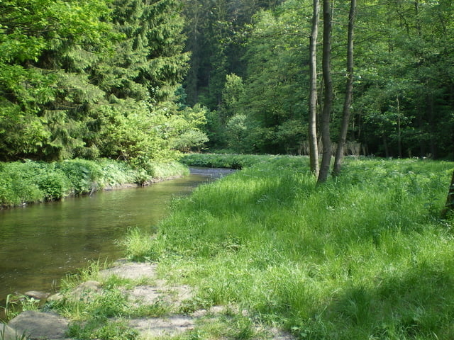
Von Hohnstein gehen wir hinunter zum Polenztal , wo man in der gleichnamigen schönen Gaststätte schon ausruhen Könnte .

Wir folgen dem ruhigen Verlauf des Weges bis kurz vor Porschdorf .

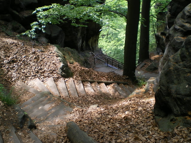
Nun geht es leicht bergauf bis zu den Brandstufen ,die uns einiges an Kondition abverlangen . Es sind ca. 800 bis 900 Stufen .

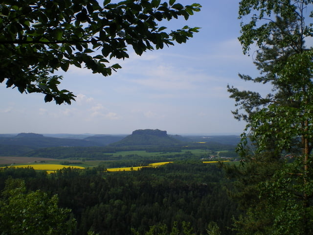
Oben angekommen wird man mit einer schönen Aussicht  belohnt .

Auf einem fast ebenem Weg gelangen wir nach Hohnstein zurück .

Galeria trasy

Mapa trasy i profil wysokości

  • Open Street Map
  • Google
Minimum height 136 m Maximum height 361 m Widok szczegółowy

More about the tour author

eifeljupp
Member since 2008

Send private message

Komentarze

GPS tracks

Trackpoints
  • GPX / Garmin Map Source (gpx) download
  • TCX / Garmin Training Center® (tcx) download
  • CRS / Garmin Training Center® (crs) download
  • Google Earth (kml) download
  • G7ToWin (g7t) download
  • TTQV (trk) download
  • Overlay (ovl) download
  • Fugawi (txt) download
  • Kompass (DAV) Track (tk) download
  • Karta trasy (pdf) download
  • Original file of the author (gpx) download

More about the tour author

eifeljupp
Member since 2008

Send private message
Share track
Add to my favorites
Remove from my favorites
Edit tags
My score
Rate
Trasa: Von Hohnstein durch das Polenztal
Rodzaj: Wędrówki
Długość: 14,6 km
Evaluated on:
Czas trwania:
Day(s)
Hour(s)
Minute(s)
Ocena: Krajobraz Czynnik zadowolenia Kondycja Technika