Login

Zapomniałeś swój login?

Cookies have to be accepted!
Your browser's cookie functionality is disabled. Please enable this functionality.

Not a member yet?

Register now
Login

Available for registred users only

Log in to use this feature.

Zapomniałeś swój login?

Cookies have to be accepted!
Your browser's cookie functionality is disabled. Please enable this functionality.

Not a member yet?

Register now
Filter
Kategorie
Advanced filters
  • Długość (km)
  • Wysokość
Zapisz filtr Reset filter

TrackRank

QRCode

Technical data

Długość11,1 km Wysokość204 m Way down204 m Czas trwania03:00 h:m Data01.04.2020
Oceny Author Krajobraz Czynnik zadowolenia Kondycja Technika

Statystyka

577 Widoki Oceny 17 Downloads / Pliki do pobrania Przeciętnie
Rate
  • Karta trasy
  • Dojazd
  • Downloads / Pliki do pobrania

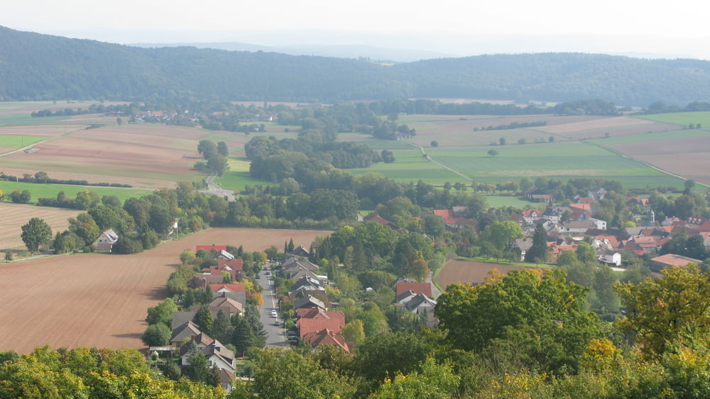
Wanderung durch das romantische Urfftal rechts der Urff leicht bergab nach Uberurff.

Wir überqueren die Hauptstraße nach links und gleich wieder nach rechts vorbei am Badeteich nach Schiffelborn zum Turm der Ruine Löwenstein.

Tolle Aussicht vom Turm und Einkehrmöglichkeit in der Jause.

Wir wandern weiter Richtung Gershäuser Hof und wieder ins Urfftal nach Bergfreiheit.
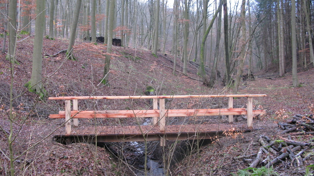
Galeria trasy

Mapa trasy i profil wysokości

  • Open Street Map
  • Google
Minimum height 254 m Maximum height 417 m Widok szczegółowy

More about the tour author

heinrich-d
Member since 2008

Send private message

Komentarze

GPS tracks

Trackpoints
  • GPX / Garmin Map Source (gpx) download
  • TCX / Garmin Training Center® (tcx) download
  • CRS / Garmin Training Center® (crs) download
  • Google Earth (kml) download
  • G7ToWin (g7t) download
  • TTQV (trk) download
  • Overlay (ovl) download
  • Fugawi (txt) download
  • Kompass (DAV) Track (tk) download
  • Karta trasy (pdf) download
  • Original file of the author (gpx) download

More about the tour author

heinrich-d
Member since 2008

Send private message
Share track
Add to my favorites
Remove from my favorites
Edit tags
My score
Rate
Trasa: B-5-Bergfreiheit-Märzenbecherweg
Rodzaj: Wędrówki
Długość: 11,1 km
Evaluated on:
Czas trwania:
Day(s)
Hour(s)
Minute(s)
Ocena: Krajobraz Czynnik zadowolenia Kondycja Technika