


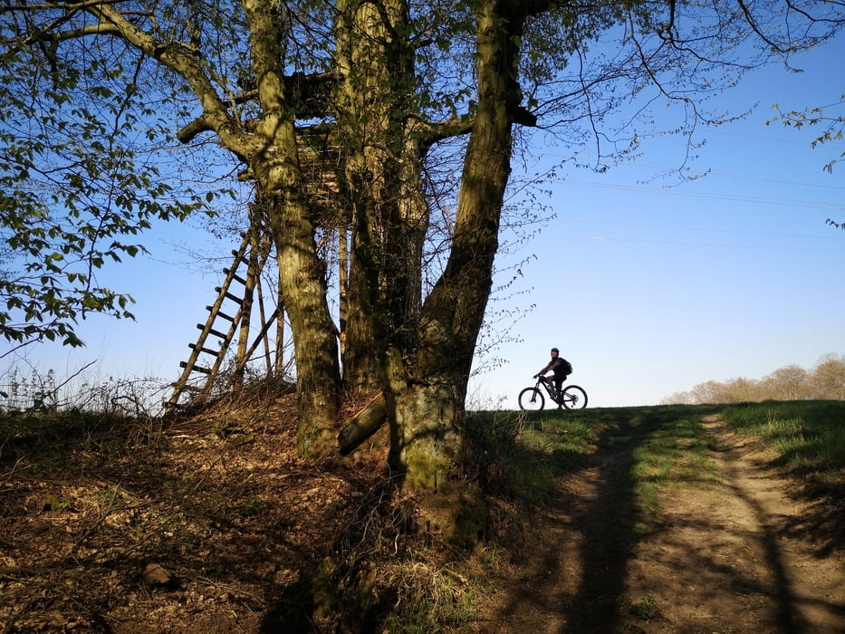
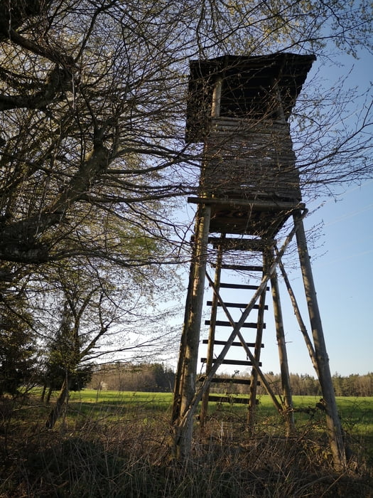
Schöne MTB-Runde durch die südliche Holledau rund um Allershausen, bevorzugt auf Feld- und Waldwegen, ab und zu auch kurze Abschnitte auf kleinen Nebenstraßen.
Start in Schernbuch, dann über Unterkienberg, Laimbach, Kranzberg, Berg, Dorfacker, Schönbichl, Tünzhausen, Aiterbach und Johanneck zurück nach Schernbuch.
Start in Schernbuch, dann über Unterkienberg, Laimbach, Kranzberg, Berg, Dorfacker, Schönbichl, Tünzhausen, Aiterbach und Johanneck zurück nach Schernbuch.
Galeria trasy


Mapa trasy i profil wysokości
Minimum height 436 m
Maximum height 513 m
More about the tour author
|
|
Raufundrunterradler |
Komentarze

BAB A9, Ausfahrt Allershausen, in der Ortmitte links Richtung Kirchdorf, nach ca. 4 km wieder links nach Aiterbach, weiter Richtung Paunzhausen, 300m nach der Autobahnbrücke in Schernbuch links abbiegen zum Startpunkt (Lindenstraße)
GPS tracks
Trackpoints-
GPX / Garmin Map Source (gpx) download
-
TCX / Garmin Training Center® (tcx) download
-
CRS / Garmin Training Center® (crs) download
-
Google Earth (kml) download
-
G7ToWin (g7t) download
-
TTQV (trk) download
-
Overlay (ovl) download
-
Fugawi (txt) download
-
Kompass (DAV) Track (tk) download
-
Karta trasy (pdf) download
-
Original file of the author (gpx) download
More about the tour author
|
|
Raufundrunterradler |
Add to my favorites
Remove from my favorites
Edit tags
Open track
My score
Rate