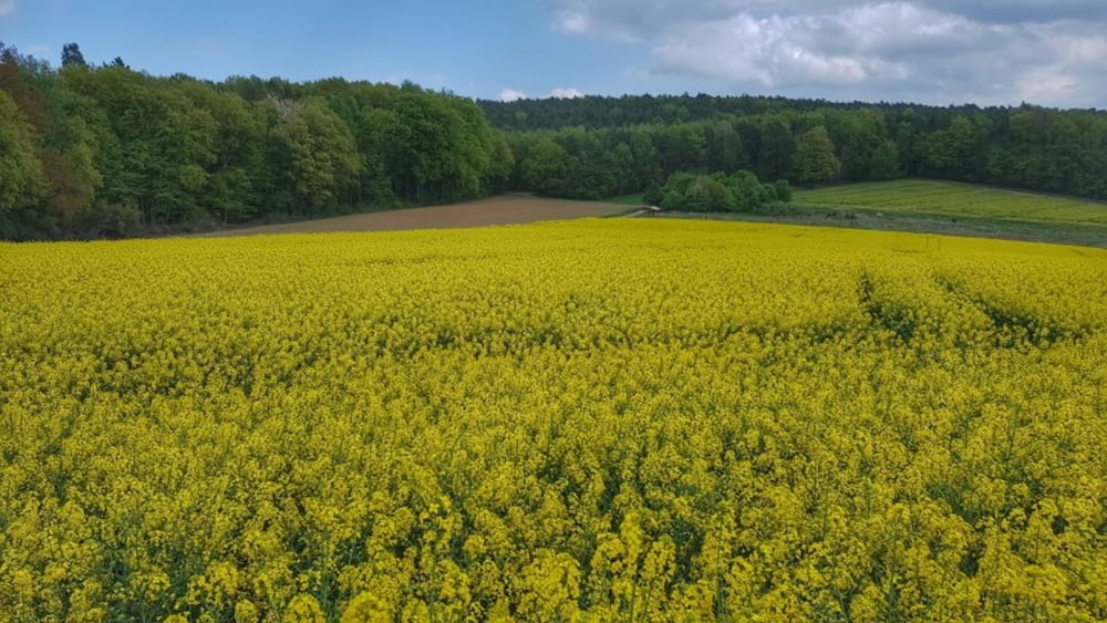
Heute mal wieder die Frühlingsrunde gefahren. Da sind nehrere steile Anstiege drin, genau das Richtige um die Beine für den Sommert fit zu machen. Diese Ortschaften lagen auf dem Weg: Höchst im Odenwald, Hetschbach, Mümling-Grumbach, Ober-Kinzig, Birkert, Brombachtal, Böllstein, Affhöllerbach, Brensbach, Hassenroth, Pfirschbach. In Böllstein ist noch der Felsen zu erwähnen und es liegen auch mehrer Brunnen an der Strecke. Viel Spaß. #noebike
Galeria trasy
Mapa trasy i profil wysokości
Minimum height 158 m
Maximum height 412 m
Komentarze

GPS tracks
Trackpoints-
GPX / Garmin Map Source (gpx) download
-
TCX / Garmin Training Center® (tcx) download
-
CRS / Garmin Training Center® (crs) download
-
Google Earth (kml) download
-
G7ToWin (g7t) download
-
TTQV (trk) download
-
Overlay (ovl) download
-
Fugawi (txt) download
-
Kompass (DAV) Track (tk) download
-
Karta trasy (pdf) download
-
Original file of the author (gpx) download
Add to my favorites
Remove from my favorites
Edit tags
Open track
My score
Rate


