Login

Zapomniałeś swój login?

Cookies have to be accepted!
Your browser's cookie functionality is disabled. Please enable this functionality.

Not a member yet?

Register now
Login

Available for registred users only

Log in to use this feature.

Zapomniałeś swój login?

Cookies have to be accepted!
Your browser's cookie functionality is disabled. Please enable this functionality.

Not a member yet?

Register now
Filter
Kategorie
Advanced filters
  • Długość (km)
  • Wysokość
Zapisz filtr Reset filter

TrackRank

QRCode

Technical data

Długość59,1 km Wysokość991 m Way down998 m Czas trwania05:00 h:m Data28.04.2020
Oceny Author Krajobraz Czynnik zadowolenia Kondycja Technika

Statystyka

353 Widoki Oceny 28 Downloads / Pliki do pobrania Przeciętnie
Rate
  • Karta trasy
  • Dojazd
  • Downloads / Pliki do pobrania
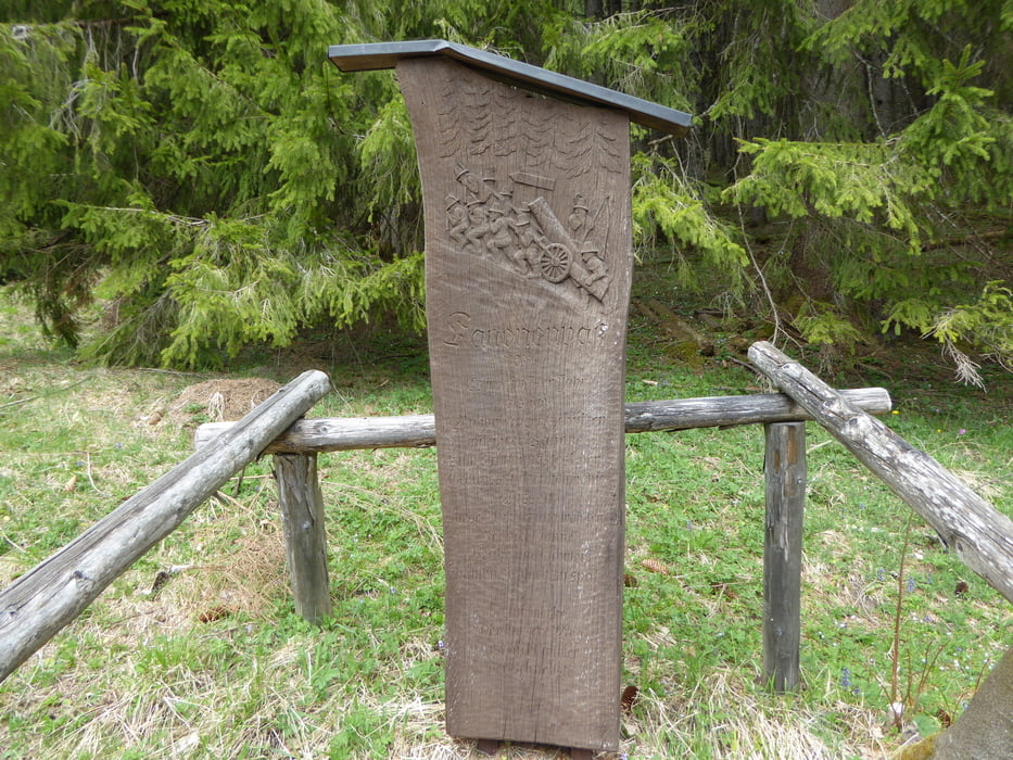
bike&hike-Tour von Traunstein über Siegsdorf, Eisenärzt, Ruhpolding, Röthelmoos, Kanonenpass. Von dort weglos, etwas mühsam zu Fuß die letzten 300 hm auf den einsamen Gipfel.

Galeria trasy

Mapa trasy i profil wysokości

  • Open Street Map
  • Google
Minimum height 587 m Maximum height 1415 m Widok szczegółowy

More about the tour author

seestadl
Member since 2013

Send private message

Komentarze

Traunstein Radweg an der Traun, Siegsdorf, Eisenärzt, Ruhpolding, übers Hasenbergl, Brand, Urschlau, Röthelmoos. Von dort rauf auf den Kanonenpass, direkte steile oder flachere Variante. Dann zu Fuß weiter.

GPS tracks

Trackpoints
  • GPX / Garmin Map Source (gpx) download
  • TCX / Garmin Training Center® (tcx) download
  • CRS / Garmin Training Center® (crs) download
  • Google Earth (kml) download
  • G7ToWin (g7t) download
  • TTQV (trk) download
  • Overlay (ovl) download
  • Fugawi (txt) download
  • Kompass (DAV) Track (tk) download
  • Karta trasy (pdf) download
  • Original file of the author (gpx) download

More about the tour author

seestadl
Member since 2013

Send private message
Share track
Add to my favorites
Remove from my favorites
Edit tags
My score
Rate
Trasa: Rachelspitz bike & hike
Rodzaj: Rower górski (MTB)
Długość: 59,1 km
Evaluated on:
Czas trwania:
Day(s)
Hour(s)
Minute(s)
Ocena: Krajobraz Czynnik zadowolenia Kondycja Technika