


überarbeitet 2011-08-15
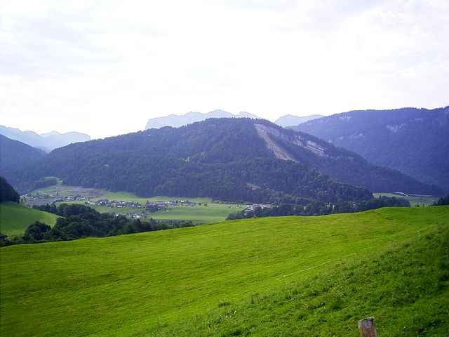
Kleine Tour vom Fischteich Andelsbuch (Bersbuch) auf den Klausberg.
Hinauf guter Weg,am Gipfel ein schöner Aussichtspunkt, hinunter dann auf einem mittelschweren Trail mit sehr kurzen Schiebe-/Tragepassagen.
Kleine Tour vom Fischteich Andelsbuch (Bersbuch) auf den Klausberg.
Hinauf guter Weg,am Gipfel ein schöner Aussichtspunkt, hinunter dann auf einem mittelschweren Trail mit sehr kurzen Schiebe-/Tragepassagen.
Further information at
http://www.andelsbuch.atGaleria trasy

Mapa trasy i profil wysokości
Minimum height 571 m
Maximum height 959 m
More about the tour author
|
|
skyhopper |
Komentarze
Lindau, Dornbirn, Alberschwende, Egg, Andelsbuch.
Am Ortseingang Bersbuch nach ca. 50m scharf hinunter zum Fischteich (Bademöglichkeit und Essen)
Am Ortseingang Bersbuch nach ca. 50m scharf hinunter zum Fischteich (Bademöglichkeit und Essen)
GPS tracks
Trackpoints-
GPX / Garmin Map Source (gpx) download
-
TCX / Garmin Training Center® (tcx) download
-
CRS / Garmin Training Center® (crs) download
-
Google Earth (kml) download
-
G7ToWin (g7t) download
-
TTQV (trk) download
-
Overlay (ovl) download
-
Fugawi (txt) download
-
Kompass (DAV) Track (tk) download
-
Karta trasy (pdf) download
-
Original file of the author (gpx) download
More about the tour author
|
|
skyhopper |
Add to my favorites
Remove from my favorites
Edit tags
Open track
My score
Rate
Kompliment