


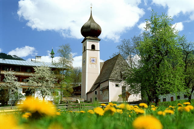
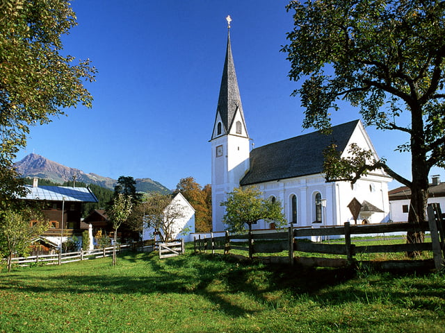
Eine Kapelle ist im Sprachgebrauch eines Gotteshauses einer traditionellen Freikirche ein kleiner Kirchenbau bzw. Teil eines größeren. Der Begriff Kapelle leitet sich vom englischen „chapel“ ab, dem typischen Versammlungshaus der „Low Church-Bewegung“. Kapellen wurden und werden noch immer auf Grund von Gelöbnissen (Versprechen) erbaut. Im Kitzbüheler Raum wurden viele Kapellen errichtet, weil die Bauern dem Herrgott dafür danken wollten, dass sie und ihre Familien von der Pest verschont blieben.
Further information at
http://touren.kitzbuehel.comGaleria trasy
Mapa trasy i profil wysokości
Minimum height 99999 m
Maximum height -99999 m
More about the tour author
|
|
Kitzbuehel |
Komentarze

Tourismusinformation Aurach – Unteraurach – Auerkapelle – Oberaurach – Waldkapelle – Kochau – Götschenkapelle – Grüntal – Pocherkapelle – Hechenmoos – Zantberg/Richtung Jochberg – Kleebichlkapelle – retour über Zantberg oder Jochberger Höhenweg / Ober- und Unterberging.
GPS tracks
Trackpoints-
GPX / Garmin Map Source (gpx) download
-
TCX / Garmin Training Center® (tcx) download
-
CRS / Garmin Training Center® (crs) download
-
Google Earth (kml) download
-
G7ToWin (g7t) download
-
TTQV (trk) download
-
Overlay (ovl) download
-
Fugawi (txt) download
-
Kompass (DAV) Track (tk) download
-
Karta trasy (pdf) download
-
Original file of the author (gpx) download
More about the tour author
|
|
Kitzbuehel |
Add to my favorites
Remove from my favorites
Edit tags
Open track
My score
Rate