Login

Zapomniałeś swój login?

Cookies have to be accepted!
Your browser's cookie functionality is disabled. Please enable this functionality.

Not a member yet?

Register now
Login

Available for registred users only

Log in to use this feature.

Zapomniałeś swój login?

Cookies have to be accepted!
Your browser's cookie functionality is disabled. Please enable this functionality.

Not a member yet?

Register now
Filter
Kategorie
Advanced filters
  • Długość (km)
  • Wysokość
Zapisz filtr Reset filter

TrackRank

QRCode

Technical data

Długość30,8 km Wysokość653 m Way down652 m Czas trwania00:00 h:m Data05.05.2020
Oceny Author Krajobraz Czynnik zadowolenia Kondycja Technika

Statystyka

130 Widoki Oceny 9 Downloads / Pliki do pobrania Przeciętnie
Rate
  • Karta trasy
  • Dojazd
  • Downloads / Pliki do pobrania
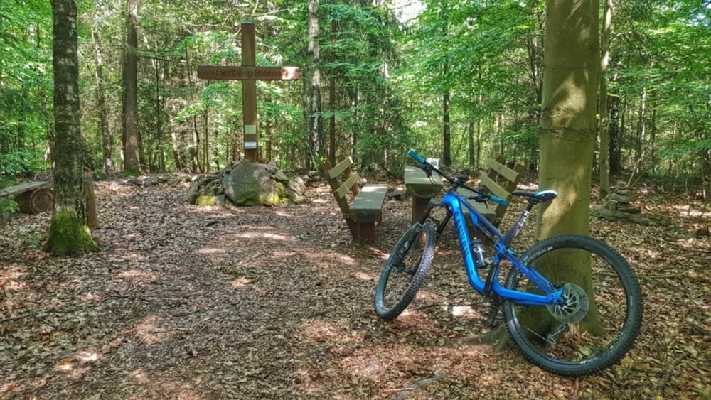
Bei frischen 15° geht es über das Georg-Verst-Heim hoch zum Borhberg. Nach einem Eintrag ins Gipfelbuch weiter über die Rimhorner Höhe nach Lützelbach. Von hier rüber zum Breubergblick. Dann noch eine Abstecher nach Hainstadt und hoch zur Frankfurter Straße. Jetzt ab nach Hause und das verdiente Bierchen auf dem Balkon genießen. #noebike

Galeria trasy

Mapa trasy i profil wysokości

  • Open Street Map
  • Google
Minimum height 140 m Maximum height 381 m Widok szczegółowy

More about the tour author

mh021255
Member since 2009

Send private message

Komentarze

GPS tracks

Trackpoints
  • GPX / Garmin Map Source (gpx) download
  • TCX / Garmin Training Center® (tcx) download
  • CRS / Garmin Training Center® (crs) download
  • Google Earth (kml) download
  • G7ToWin (g7t) download
  • TTQV (trk) download
  • Overlay (ovl) download
  • Fugawi (txt) download
  • Kompass (DAV) Track (tk) download
  • Karta trasy (pdf) download
  • Original file of the author (gpx) download

More about the tour author

mh021255
Member since 2009

Send private message
Share track
Add to my favorites
Remove from my favorites
Edit tags
My score
Rate
Trasa: Rimhorn-Lützelbach-Hainstadt Runde
Rodzaj: Rower górski (MTB)
Długość: 30,8 km
Evaluated on:
Czas trwania:
Day(s)
Hour(s)
Minute(s)
Ocena: Krajobraz Czynnik zadowolenia Kondycja Technika