


Leichte Vatertagstour ausschliesslich auf Forststraßen und Waldwegen. Ohne grosse technische und konditionelle Anforderungen.
Wegen Corona sind zur Zeit nicht alle Hütten geöffnet. Das LaHaus hat sich m.E. sehr gut auf die Anforderungen eingestellt. Bei schönem Wetter reicht der grosse Freibereich um die gesetzlichen Anforderngen zu erfüllen.
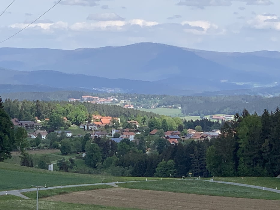
Galeria trasy


Mapa trasy i profil wysokości
Minimum height 693 m
Maximum height 1063 m
More about the tour author
|
|
kleofass |
Komentarze

Startpunkt ist der Wanderparkplatz Schellenberg oberhalb von Greising, rechts neben der Straße nach Ulrichsberg.
Von der A3/A92 kommend, RichtungViechtachfahren und im Tunnelnach rechts Richtung Regen über Rusel abbiegen. Über die grosse Kreuzung gerade aus. Nach Mintraching geht es die Rusel hoch bis zur Abzweigung nach links Richtung Greising. Durch Greising durch, nach den Schilift-Parkplätzen an der Straße gehts es -kurz bevor der Wald beginnt- rechts in den Wanderparkplatz.
GPS tracks
Trackpoints-
GPX / Garmin Map Source (gpx) download
-
TCX / Garmin Training Center® (tcx) download
-
CRS / Garmin Training Center® (crs) download
-
Google Earth (kml) download
-
G7ToWin (g7t) download
-
TTQV (trk) download
-
Overlay (ovl) download
-
Fugawi (txt) download
-
Kompass (DAV) Track (tk) download
-
Karta trasy (pdf) download
-
Original file of the author (gpx) download
More about the tour author
|
|
kleofass |
Add to my favorites
Remove from my favorites
Edit tags
Open track
My score
Rate