


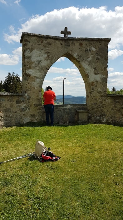
vom Parkplatz Bezirkshauptmannschaft (Nähe Brauhaus) ein kleines Stück Linzer Str. (B127), dann links in die St. Peter-Straße, (kurzes Stück asphaltiert) den Kreuzweg entlang und hinauf zur Kirche St. Peter (liegt auf 698 m).
Weiter in Nord-NÖstl. Richtung zur Waldandacht, rechts am Dreißgerberg vorbei zur Ortschaft Vierzehn, die Bundesstraße 310 (E55) überqueren , nördliche Richtung weiter in das Gebiet Thurytal.
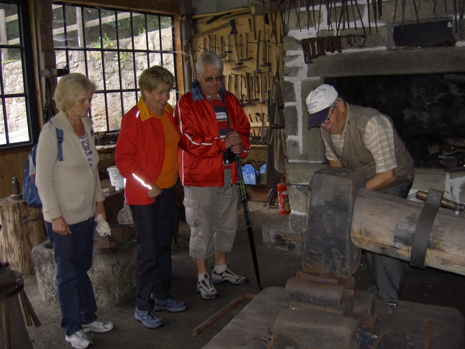
In Höhe Neumühle nach einer Spitzkehre weiter in SÖ Richtung zur Feldaist, links am Teufelsfels vorbei in die Hammerleiten (bei etwas Glück kann die Hammerschmiede mit Schau-Schmieden besucht werden)
Nach einem weiteren Stück der Feldaist entlang kommt man nach Freistadt, in die Böhmer Vorstadt, in' s Stadtgebiet Graben, in die Hafnerzeile und weiter auf den Hauptplatz von Freistadt.
Entweder jetzt, oder ein kleines Stüch weiter beim Brauhaus ist eine verdiente Rast angesagt.
Galeria trasy

Mapa trasy i profil wysokości
Minimum height 541 m
Maximum height 709 m
More about the tour author

|
oe5psl |
Komentarze

Von Daheim (Wels) bis Linz auf der Autobahn A7, ein kurzes Stück die B3 über die Donau Richtung Freistadt, weiter auf der A7 bis Radingdorf anschließend auf der Schnellstraße S10 bis zur Ausfahrt Freistadt, in die B125 (Linzer Straße) bis zum Parkplatz BH Freistadt.
GPS tracks
Trackpoints-
GPX / Garmin Map Source (gpx) download
-
TCX / Garmin Training Center® (tcx) download
-
CRS / Garmin Training Center® (crs) download
-
Google Earth (kml) download
-
G7ToWin (g7t) download
-
TTQV (trk) download
-
Overlay (ovl) download
-
Fugawi (txt) download
-
Kompass (DAV) Track (tk) download
-
Karta trasy (pdf) download
-
Original file of the author (gpx) download
More about the tour author
|
|
oe5psl |
Add to my favorites
Remove from my favorites
Edit tags
Open track
My score
Rate