


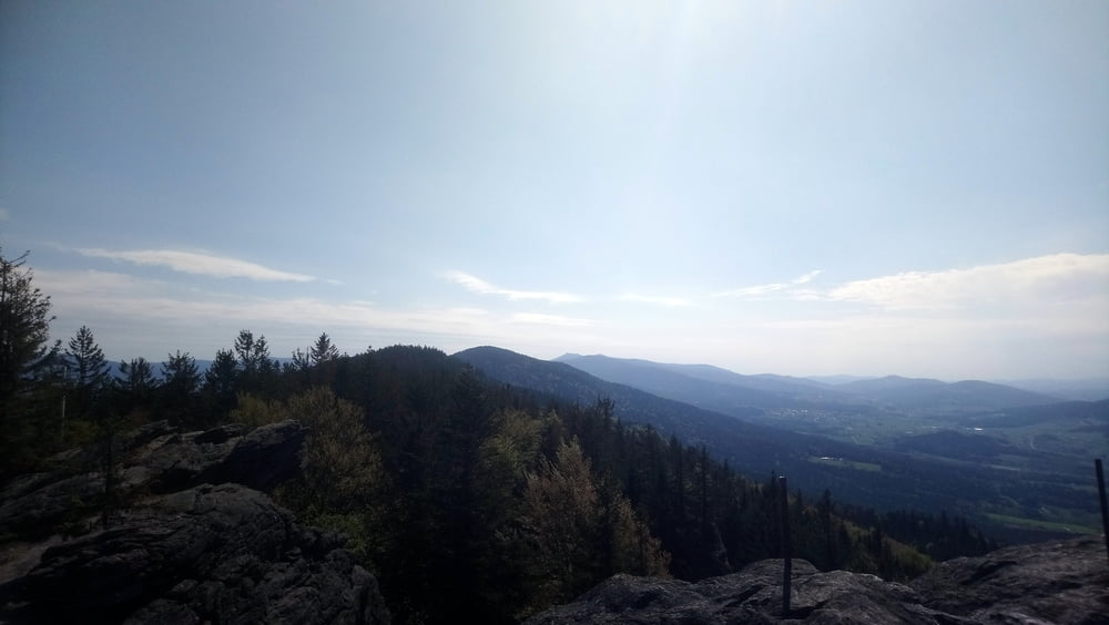
Rundwanderung von Reitenberg über den Kreuzfelsen (999 m) und Mittagstein zur Kötztinger Hütte. Auf dem Rückweg noch zum Plattenstein (788 m).
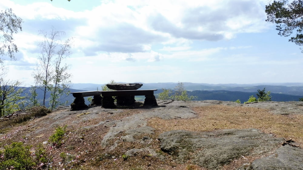
Vom Wanderparkplatz wandern wir auf der Bk3 zuerst zum Kreuzfelsen (999 m) dann weiter zum Mittagstein. Von hier ist es nur noch ein Katzensprung zur Kötztinger Hütte. Auf gleichem Weg geht es jetzt wieder zurück. Kurz vor dem Kreuzfelsen beachten wir das Hinweisschild und halten uns links Richtung Räuber-Heigl-Höhle. Der Weg führt uns steil bergab. Zwischendurch ein Besuch der Räuber-Heigl-Höhle bevor wir den Plattenstein (788 m) erreichen. Der Abstecher ist lohnenswert. Von hier ist es dann nicht mehr weit zum Ausgangspunkt unserer Wanderung.
POI: Kreuzfelsen, Mittagstein, Kötztinger Hütte, Räuber-Heigl-Höhle, Plattenstein
Galeria trasy


Mapa trasy i profil wysokości
Minimum height 753 m
Maximum height 1020 m
More about the tour author

|
ejee |
Komentarze

GPS tracks
Trackpoints-
GPX / Garmin Map Source (gpx) download
-
TCX / Garmin Training Center® (tcx) download
-
CRS / Garmin Training Center® (crs) download
-
Google Earth (kml) download
-
G7ToWin (g7t) download
-
TTQV (trk) download
-
Overlay (ovl) download
-
Fugawi (txt) download
-
Kompass (DAV) Track (tk) download
-
Karta trasy (pdf) download
-
Original file of the author (gpx) download
More about the tour author
|
|
ejee |
Add to my favorites
Remove from my favorites
Edit tags
Open track
My score
Rate