
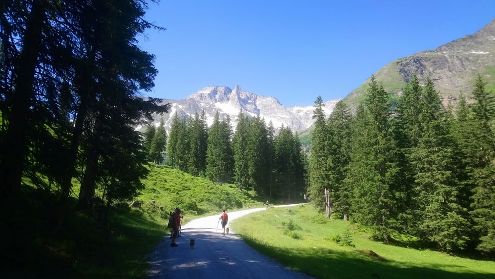

Im Talschluß Kolm-Saigurn Wasserfälle hautnah erleben.
Vom Parkplatz Lenzanger geht es auf einer Forststraße Richtung Kolm-Saigurn. Ein Hinweisschild rechts über eine Holzbrücke zeigt uns den Beginn des Wasserfallweges an.
Der Weg führt, gut beschildert, über Stege und eine Hängebrücke an beeindruckenden Wasserfällen vorbei bis zum Naturfreundehaus Kolm-Saigurn wo eine Einkehrmöglichkeit besteht.
Wer mag, besucht die Informationsstelle "Zimmererhütte". Eine Ausstellung informiert über die Goldgewinnung in früherer Zeit. Der Eintritt ist frei.
INFO: Die Zufahrt zum Parkplatz Lenzanger ist gebührenpflichtig. Die Tour läßt sich danach prima verbinden mit einer Wanderung durch den Rauriser Urwald.
Galeria trasy


Mapa trasy i profil wysokości
Minimum height 1550 m
Maximum height 1746 m
More about the tour author

|
ejee |
Komentarze

GPS tracks
Trackpoints-
GPX / Garmin Map Source (gpx) download
-
TCX / Garmin Training Center® (tcx) download
-
CRS / Garmin Training Center® (crs) download
-
Google Earth (kml) download
-
G7ToWin (g7t) download
-
TTQV (trk) download
-
Overlay (ovl) download
-
Fugawi (txt) download
-
Kompass (DAV) Track (tk) download
-
Karta trasy (pdf) download
-
Original file of the author (gpx) download
More about the tour author
|
|
ejee |
Add to my favorites
Remove from my favorites
Edit tags
Open track
My score
Rate