


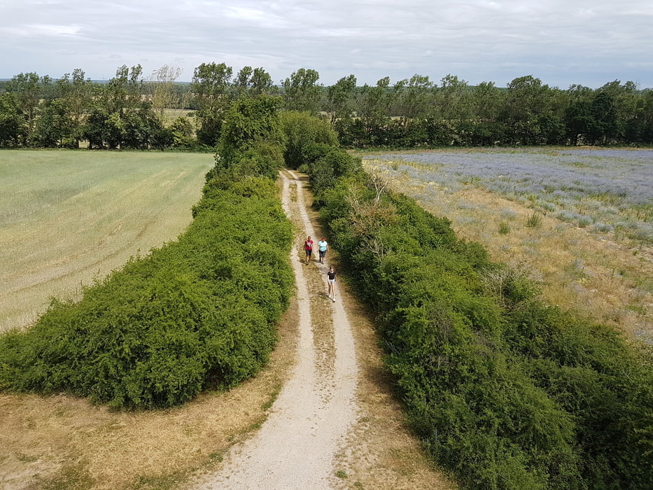
Feine Wanderrunde von Mellensee nach Sperenberg zum Aussichtsturm auf dem Gipsberg
Wir starten in Mellensee. Es geht Richtung Klausdorf. Wir biegen in die Schmidtstraße ein und laufen auf dem Klausdorfer Rundweg (Markierung: gelber Punkt auf weiß). Der erste kleine Lacher "Am Busenberg". Weiter geht es in Richttung Sperenberg. Vorbei am Mühlenberg geht es zum Aussichtsturm auf dem Gipsberg (der Turm ist eigentlich ein Mobilfunktmast !!!).
Über dem Mühlenweg und dem Kalkscheunengrundweg geht es zum Umspannwerk. Über Rehagen geht es zurück (auf Radweg) nach Mellensee.
FAZIT:
- Eine tolle Wanderung in schöner Natur.
- Der Gipsberg ist mit 79m über NN die höchste Erhebung in der Gegend
Galeria trasy


Mapa trasy i profil wysokości
Minimum height 41 m
Maximum height 77 m
More about the tour author
|
|
Stummi |
Komentarze

GPS tracks
Trackpoints-
GPX / Garmin Map Source (gpx) download
-
TCX / Garmin Training Center® (tcx) download
-
CRS / Garmin Training Center® (crs) download
-
Google Earth (kml) download
-
G7ToWin (g7t) download
-
TTQV (trk) download
-
Overlay (ovl) download
-
Fugawi (txt) download
-
Kompass (DAV) Track (tk) download
-
Karta trasy (pdf) download
-
Original file of the author (gpx) download
More about the tour author
|
|
Stummi |
Add to my favorites
Remove from my favorites
Edit tags
Open track
My score
Rate