Login

Zapomniałeś swój login?

Cookies have to be accepted!
Your browser's cookie functionality is disabled. Please enable this functionality.

Not a member yet?

Register now
Login

Available for registred users only

Log in to use this feature.

Zapomniałeś swój login?

Cookies have to be accepted!
Your browser's cookie functionality is disabled. Please enable this functionality.

Not a member yet?

Register now
Filter
Kategorie
Advanced filters
  • Długość (km)
  • Wysokość
Zapisz filtr Reset filter

TrackRank

QRCode

Technical data

Długość18,9 km Wysokość798 m Way down788 m Czas trwania02:30 h:m Data26.06.2020
Oceny Author Krajobraz Czynnik zadowolenia Kondycja Technika

Statystyka

578 Widoki Oceny 64 Downloads / Pliki do pobrania Przeciętnie
Rate
  • Karta trasy
  • Dojazd
  • Downloads / Pliki do pobrania

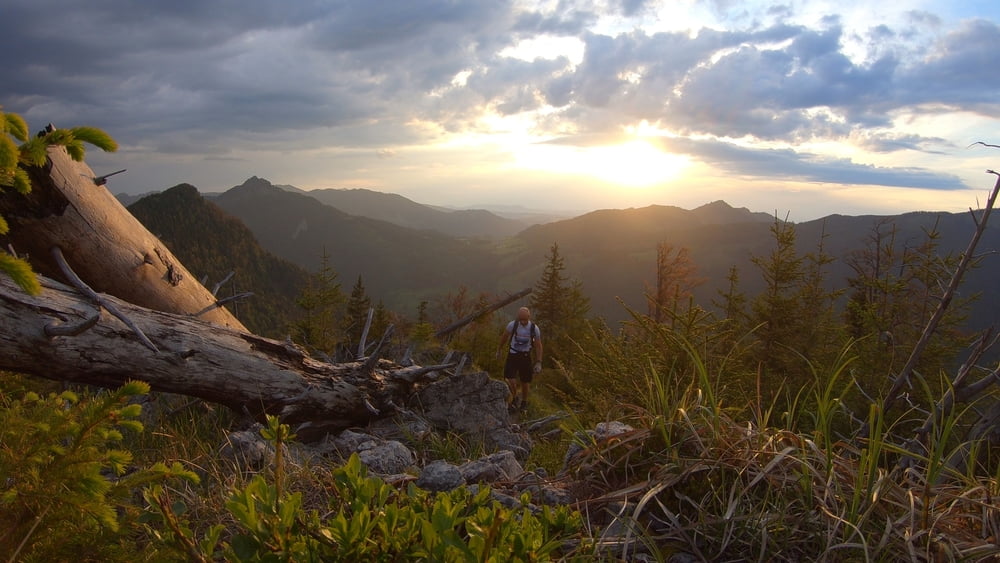
Leichte MTB-Runde mit Start und Ziel in Pfronten. Dafür werden ca. 500 hm mit dem Rad auf einfachen Schotterpisten zurück gelegt. Unterwegs kann man sich auf der Bärenmoosalm stärken. Die Essenauswahl ist allerdings begrenzt:
1. Brot mit Wurst
2. Brot mit Käse
3. Brot mit Wurst und Käse

:)

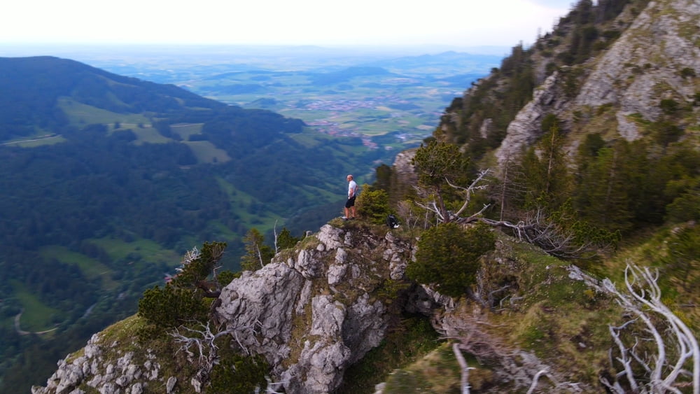
Wer mag, kann vom "Himmelreich" einen Abstecher ca. 300 hm zu Fuß auf den Kienberg machen. Einigermaßen Trittsicher sollte man dafür allerdings schon sein.

Video zur Tour gibt es auf meinem You-Tube Kanal:
mountain mane


Galeria trasy

Mapa trasy i profil wysokości

  • Open Street Map
  • Google
Minimum height 847 m Maximum height 1499 m Widok szczegółowy

More about the tour author

mountain_mane
Member since 2020

Send private message

Komentarze

GPS tracks

Trackpoints
  • GPX / Garmin Map Source (gpx) download
  • TCX / Garmin Training Center® (tcx) download
  • CRS / Garmin Training Center® (crs) download
  • Google Earth (kml) download
  • G7ToWin (g7t) download
  • TTQV (trk) download
  • Overlay (ovl) download
  • Fugawi (txt) download
  • Kompass (DAV) Track (tk) download
  • Karta trasy (pdf) download
  • Original file of the author (gpx) download

More about the tour author

mountain_mane
Member since 2020

Send private message
Share track
Add to my favorites
Remove from my favorites
Edit tags
My score
Rate
Trasa: Bärenmoosalpe und Kienberg / Bike&Hike
Rodzaj: Rower górski (MTB)
Długość: 18,9 km
Evaluated on:
Czas trwania:
Day(s)
Hour(s)
Minute(s)
Ocena: Krajobraz Czynnik zadowolenia Kondycja Technika