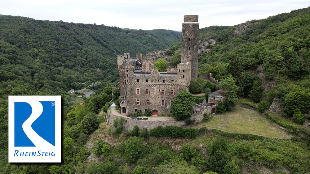
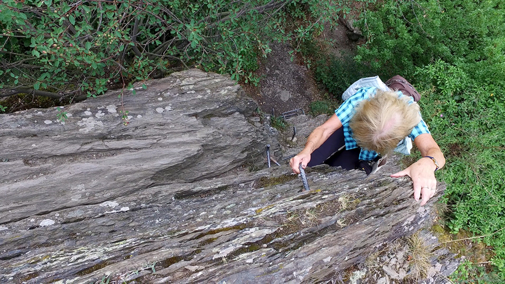
Heute wird es mal wieder eine kurze Etappe, aber nicht weniger abwechslungsreich. Man kommt durch Wald und Feld, Wiese und Felsen, an der Burg Maus vorbei und am Ende wartet ein Kleiner Klettersteig als alpine Variante.
Galeria trasy
Mapa trasy i profil wysokości
Minimum height 73 m
Maximum height 281 m
Komentarze

GPS tracks
Trackpoints-
GPX / Garmin Map Source (gpx) download
-
TCX / Garmin Training Center® (tcx) download
-
CRS / Garmin Training Center® (crs) download
-
Google Earth (kml) download
-
G7ToWin (g7t) download
-
TTQV (trk) download
-
Overlay (ovl) download
-
Fugawi (txt) download
-
Kompass (DAV) Track (tk) download
-
Karta trasy (pdf) download
-
Original file of the author (gpx) download
Add to my favorites
Remove from my favorites
Edit tags
Open track
My score
Rate


