


Vom Wanderparkplatz Fredenbrücke über die Himmelsleiter auf den Lusen (1372 m). Rückweg über den Waldhäuserriegel (1146 m).
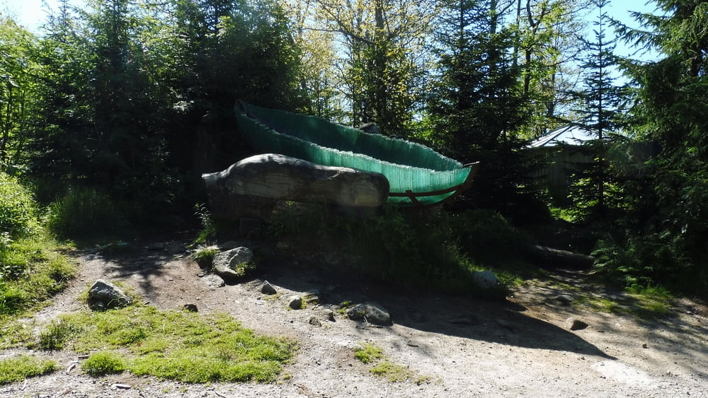
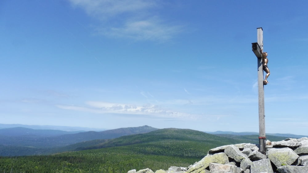
Vom Wanderparkplatz Fredenbrücke führt der Wanderweg (Markierung „Ranne“) zunächst zur Martinsklause, ab jetzt bergauf zum Teufelsloch und dann über einen Bohlenweg zur Gläsernen Arche. Über die Himmelsleiter erreichen wir schließlich den Gipfel des Lusen.
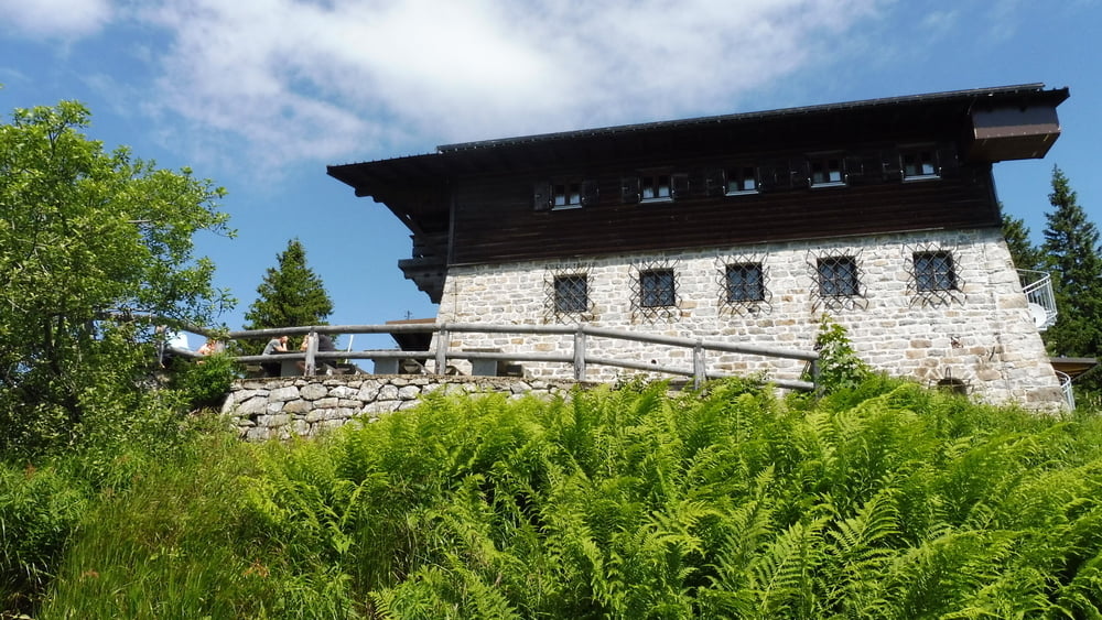
Der Abstieg erfolgt (jetzt der Markierung „Luchs“ folgend), vorbei am Lusen-Schutzhaus, auf dem Winterwanderweg zum Parkplatz Waldhausreibe.
Wir wechseln die Straßenseite und wandern auf dem Goldsteig zum Waldhäuser Riegel und weiter Richtung Waldhäuser. Wir queren die Straße abermals und folgen der Beschilderung „Zaunkönig“ zur Martinsklause.
Von dort geht es mit der „Ranne“ wieder zurück zum Ausgangspunkt.
POI: Martinsklause, Teufelsloch, Gläserne Arche, Lusen
Galeria trasy

Mapa trasy i profil wysokości
Minimum height 837 m
Maximum height 1372 m
More about the tour author

|
ejee |
Komentarze

GPS tracks
Trackpoints-
GPX / Garmin Map Source (gpx) download
-
TCX / Garmin Training Center® (tcx) download
-
CRS / Garmin Training Center® (crs) download
-
Google Earth (kml) download
-
G7ToWin (g7t) download
-
TTQV (trk) download
-
Overlay (ovl) download
-
Fugawi (txt) download
-
Kompass (DAV) Track (tk) download
-
Karta trasy (pdf) download
-
Original file of the author (gpx) download
More about the tour author
|
|
ejee |
Add to my favorites
Remove from my favorites
Edit tags
Open track
My score
Rate