Start der Tour ist am Ortsende von Lichtenwörth.
Die Strecke führt über Feld.- und Radwege nach Neudörfl, Bad Sauerbrunn, Wiesen und Forchtenstein.
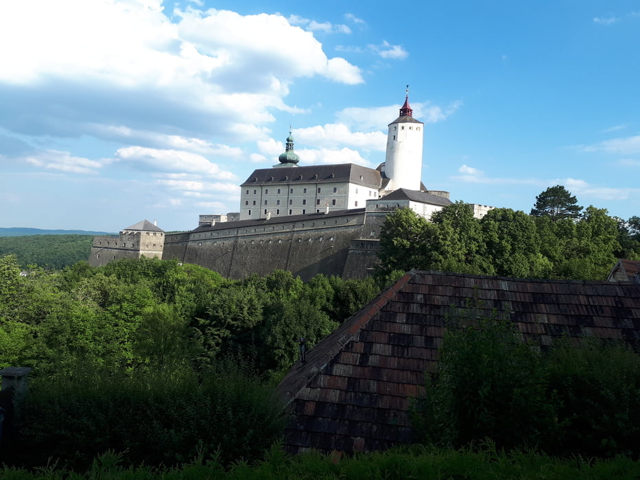
Bei Forchtenstein beginnt der Anstieg zur Burg und weiter auf den Heuberg (Rosaliakapelle).
Über einen Wurzelweg und MTB-Strecke geht es von der Rosalia hinunter zum Steinkogel (Aussichtsturm).
Die MTB-Strecke führt hinunter nach Frohsdorf.
Von Frohsdorf geht es über Rad.- und Feldwege durch Lanzenkirchen, Katzelsdorf und Neudörfl zurück nach Lichtenwörth.
Further information at
https://www.forchtenstein.at/tourismus-freizeit/ansichten-in-360-grad/burg-forchtenstein-360-grad/Galeria trasy
Mapa trasy i profil wysokości
Minimum height 250 m
Maximum height 740 m
Komentarze

GPS tracks
Trackpoints-
GPX / Garmin Map Source (gpx) download
-
TCX / Garmin Training Center® (tcx) download
-
CRS / Garmin Training Center® (crs) download
-
Google Earth (kml) download
-
G7ToWin (g7t) download
-
TTQV (trk) download
-
Overlay (ovl) download
-
Fugawi (txt) download
-
Kompass (DAV) Track (tk) download
-
Karta trasy (pdf) download
-
Original file of the author (gpx) download
Add to my favorites
Remove from my favorites
Edit tags
Open track
My score
Rate


