
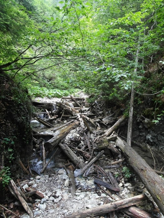

Klettersteig in der Schlucht Kysel.
Der Weg durch diese Schlucht ist immer wieder mit Stahlseilen und Trittstufen gesichert. Er gilt als Klettersteig, und man darf ihn nur mit Klettersteig-Ausrüstung begehen. Außerdem braucht man eine Eintrittskarte. Beides gibt es am Besten in Podlesok, z.B. an der Campingplatz-Rezeption.
Der Weg ist kaum schwieriger als z.B. die Schlucht Prielom Hornadu etwas nördlich. Manche Leute gehen ihn sogar mit kleineren Kindern, das würde ich aber nicht empfehlen. Die Natur und das Erlebnis sind super!
Für diese Schlucht braucht man nicht lange, allerdings dauert der Anmarsch von Podlesok und zurück jeweils so 2 Stunden. Und man kann diesen Weg nicht so gut mit anderen Touren im Paradies verbinden.
Further information at
http://www.slovenskyraj.sk/de.htmlGaleria trasy


Mapa trasy i profil wysokości
Minimum height 542 m
Maximum height 839 m
More about the tour author

|
Rum2014 |
Komentarze

Man kann am Campingplatz bzw. Nationalpark-Info in Podlesok starten.
GPS tracks
Trackpoints-
GPX / Garmin Map Source (gpx) download
-
TCX / Garmin Training Center® (tcx) download
-
CRS / Garmin Training Center® (crs) download
-
Google Earth (kml) download
-
G7ToWin (g7t) download
-
TTQV (trk) download
-
Overlay (ovl) download
-
Fugawi (txt) download
-
Kompass (DAV) Track (tk) download
-
Karta trasy (pdf) download
-
Original file of the author (gpx) download
More about the tour author
|
|
Rum2014 |
Add to my favorites
Remove from my favorites
Edit tags
Open track
My score
Rate