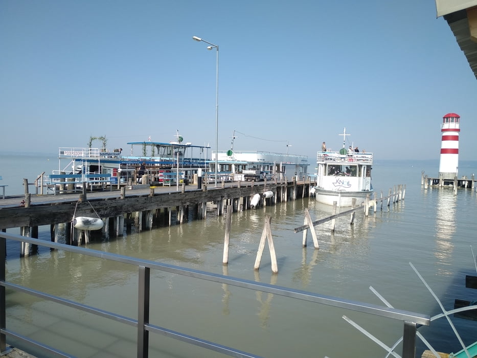
Radrundfahrt mit Seeüberquerung per Radfähre von Podersdorf nach Rust.
Anschließend nach Oggau, übern Berg nach Schützen und dann Donnerskirchen.Einen Teil des Kirschblütenradweges vorbei am Schießplatz / Maut nach Neusiedl.
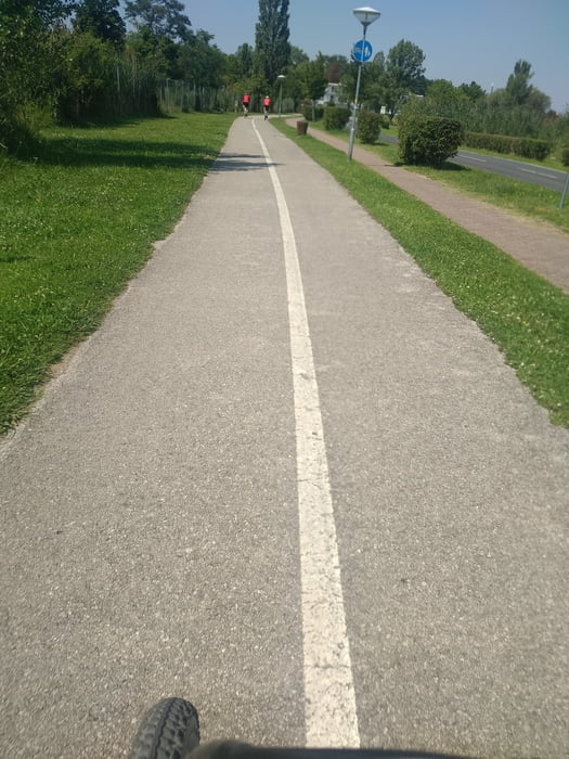
Auf diesem Weg sind Steigungen bzw. Abfahrten dabei.
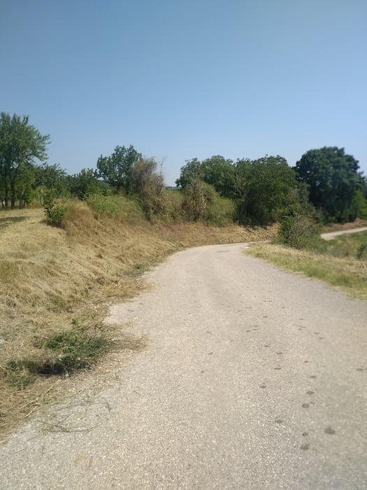
Nur eine kurze Strecke bei Jois ist nicht asphaltiert.
Abfahrtszeiten der Radfähre bitte bei Schiffahrt Knoll erfragen.
Further information at
https://www.schifffahrt-knoll.at/startseite.htmlGaleria trasy
Mapa trasy i profil wysokości
Minimum height 145 m
Maximum height 263 m
Komentarze

Eine Anreise per Bahn ist möglich. Gols Bahnhof.
Einfacher mit dem Auto.
GPS tracks
Trackpoints-
GPX / Garmin Map Source (gpx) download
-
TCX / Garmin Training Center® (tcx) download
-
CRS / Garmin Training Center® (crs) download
-
Google Earth (kml) download
-
G7ToWin (g7t) download
-
TTQV (trk) download
-
Overlay (ovl) download
-
Fugawi (txt) download
-
Kompass (DAV) Track (tk) download
-
Karta trasy (pdf) download
-
Original file of the author (gpx) download
Add to my favorites
Remove from my favorites
Edit tags
Open track
My score
Rate


