Login

Zapomniałeś swój login?

Cookies have to be accepted!
Your browser's cookie functionality is disabled. Please enable this functionality.

Not a member yet?

Register now
Login

Available for registred users only

Log in to use this feature.

Zapomniałeś swój login?

Cookies have to be accepted!
Your browser's cookie functionality is disabled. Please enable this functionality.

Not a member yet?

Register now
Filter
Kategorie
Advanced filters
  • Długość (km)
  • Wysokość
Zapisz filtr Reset filter

TrackRank

QRCode

Technical data

Długość46,7 km Wysokość1412 m Way down1417 m Czas trwania03:50 h:m Data14.08.2020
Oceny Author Krajobraz Czynnik zadowolenia Kondycja Technika

Statystyka

85 Widoki Oceny 6 Downloads / Pliki do pobrania Przeciętnie
Rate
  • Karta trasy
  • Dojazd
  • Downloads / Pliki do pobrania
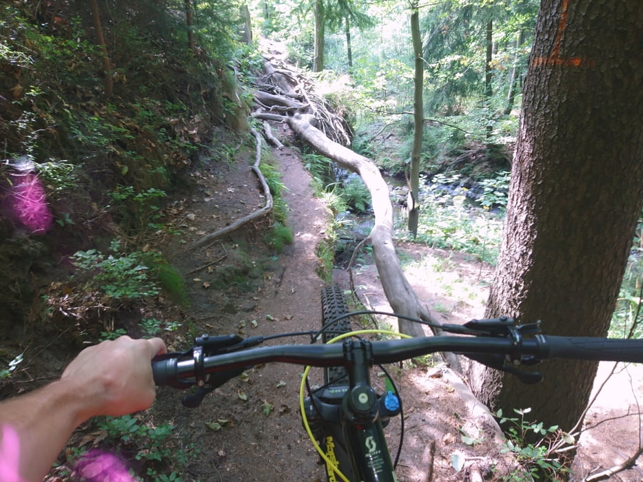
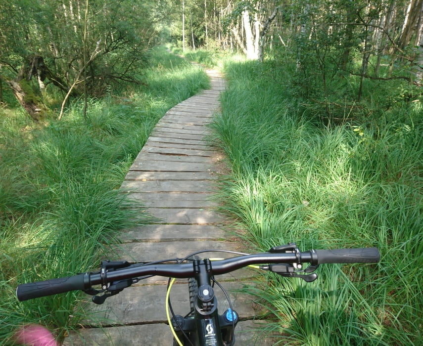
Vom O See Camping ins schöne Oybin um im Felsenland die Trails zu suchen. Grenzerfahrung am Grenzstreifen CZ mit Grenzgänger machen. Herliche Landschaft und Trails bei den CZ Freunden genießen. Zurück im harten Kampf über deb Hochwaldgipfel. Beim nächsten Mal sollte eine bessere Abfahrt her. Immer bergab Richtung OSee und noch ein lecker Stück Kuchen in Olbersdorf. 

Galeria trasy

Mapa trasy i profil wysokości

  • Open Street Map
  • Google
Minimum height 278 m Maximum height 794 m Widok szczegółowy

More about the tour author

Mulletman
Member since 2020

Send private message

Komentarze

GPS tracks

Trackpoints
  • GPX / Garmin Map Source (gpx) download
  • TCX / Garmin Training Center® (tcx) download
  • CRS / Garmin Training Center® (crs) download
  • Google Earth (kml) download
  • G7ToWin (g7t) download
  • TTQV (trk) download
  • Overlay (ovl) download
  • Fugawi (txt) download
  • Kompass (DAV) Track (tk) download
  • Karta trasy (pdf) download
  • Original file of the author (gpx) download

More about the tour author

Mulletman
Member since 2020

Send private message
Share track
Add to my favorites
Remove from my favorites
Edit tags
My score
Rate
Trasa: Von Camp O See nach CZ & über Hochwald
Rodzaj: Rower górski (MTB)
Długość: 46,7 km
Evaluated on:
Czas trwania:
Day(s)
Hour(s)
Minute(s)
Ocena: Krajobraz Czynnik zadowolenia Kondycja Technika