Login

Zapomniałeś swój login?

Cookies have to be accepted!
Your browser's cookie functionality is disabled. Please enable this functionality.

Not a member yet?

Register now
Login

Available for registred users only

Log in to use this feature.

Zapomniałeś swój login?

Cookies have to be accepted!
Your browser's cookie functionality is disabled. Please enable this functionality.

Not a member yet?

Register now
Filter
Kategorie
Advanced filters
  • Długość (km)
  • Wysokość
Zapisz filtr Reset filter

TrackRank

QRCode

Technical data

Długość78,8 km Wysokość1247 m Way down1243 m Czas trwania00:00 h:m Data22.06.2008
Oceny Author Krajobraz Czynnik zadowolenia Kondycja Technika

Statystyka

2013 Widoki 2 Oceny 331 Downloads / Pliki do pobrania 5.00 Przeciętnie
Rate
  • Karta trasy
  • Dojazd
  • Downloads / Pliki do pobrania

Rundtour über Gmund, Valepp, Spitzingsee, Schliersee und Gotzing.

Tour lässt sich "Am Klärwerk" Nähe Berg und in Wall abkürzen.
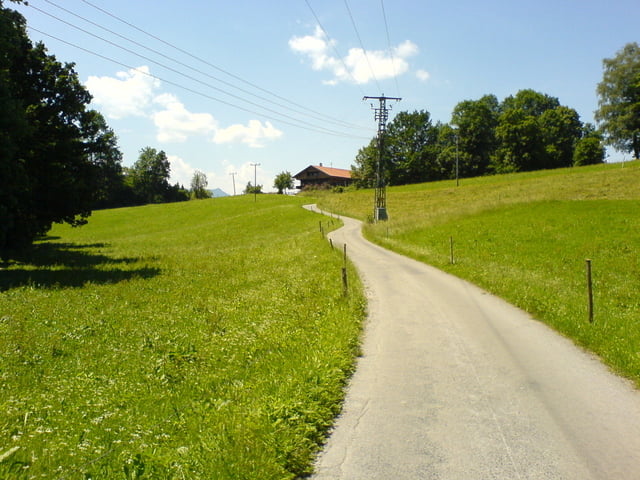
Galeria trasy

Mapa trasy i profil wysokości

  • Open Street Map
  • Google
Minimum height 686 m Maximum height 1135 m Widok szczegółowy

More about the tour author

Beba

Komentarze

GPS tracks

Trackpoints
  • GPX / Garmin Map Source (gpx) download
  • TCX / Garmin Training Center® (tcx) download
  • CRS / Garmin Training Center® (crs) download
  • Google Earth (kml) download
  • G7ToWin (g7t) download
  • TTQV (trk) download
  • Overlay (ovl) download
  • Fugawi (txt) download
  • Kompass (DAV) Track (tk) download
  • Karta trasy (pdf) download
  • Original file of the author (gpx) download

More about the tour author

Beba

Share track
Add to my favorites
Remove from my favorites
Edit tags
My score
Rate
Trasa: Gmund - Valepp - Schliersee - Gotzing
Rodzaj: Rower szosowy
Długość: 78,8 km
Evaluated on:
Czas trwania:
Day(s)
Hour(s)
Minute(s)
Ocena: Krajobraz Czynnik zadowolenia Kondycja Technika