Login

Zapomniałeś swój login?

Cookies have to be accepted!
Your browser's cookie functionality is disabled. Please enable this functionality.

Not a member yet?

Register now
Login

Available for registred users only

Log in to use this feature.

Zapomniałeś swój login?

Cookies have to be accepted!
Your browser's cookie functionality is disabled. Please enable this functionality.

Not a member yet?

Register now
Filter
Kategorie
Advanced filters
  • Długość (km)
  • Wysokość
Zapisz filtr Reset filter

TrackRank

QRCode

Technical data

Długość47,4 km Wysokość1129 m Way down1122 m Czas trwania00:00 h:m Data22.08.2020
Oceny Author Krajobraz Czynnik zadowolenia Kondycja Technika

Statystyka

200 Widoki Oceny 22 Downloads / Pliki do pobrania Przeciętnie
Rate
  • Karta trasy
  • Dojazd
  • Downloads / Pliki do pobrania
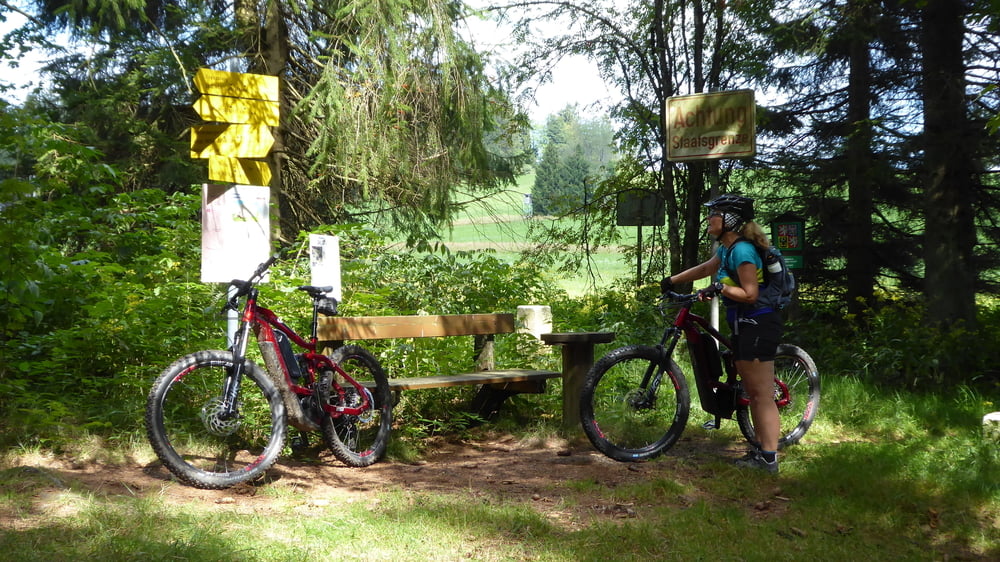
Wander Wald und Wiesenwege an der Tschechischen Grenze ... erneuter Grenzübertritt nicht gelungen aufgrund von Jungwald ... der Weg war nicht mehr vorhanden

Galeria trasy

Mapa trasy i profil wysokości

  • Open Street Map
  • Google
Minimum height 478 m Maximum height 844 m Widok szczegółowy

More about the tour author

Hoar
Member since 2009

Send private message

Komentarze

GPS tracks

Trackpoints
  • GPX / Garmin Map Source (gpx) download
  • TCX / Garmin Training Center® (tcx) download
  • CRS / Garmin Training Center® (crs) download
  • Google Earth (kml) download
  • G7ToWin (g7t) download
  • TTQV (trk) download
  • Overlay (ovl) download
  • Fugawi (txt) download
  • Kompass (DAV) Track (tk) download
  • Karta trasy (pdf) download
  • Original file of the author (gpx) download

More about the tour author

Hoar
Member since 2009

Send private message
Share track
Add to my favorites
Remove from my favorites
Edit tags
My score
Rate
Trasa: Stiftersteig Grenzübergang bei St Stefan
Rodzaj: Rower górski (MTB)
Długość: 47,4 km
Evaluated on:
Czas trwania:
Day(s)
Hour(s)
Minute(s)
Ocena: Krajobraz Czynnik zadowolenia Kondycja Technika