Login

Zapomniałeś swój login?

Cookies have to be accepted!
Your browser's cookie functionality is disabled. Please enable this functionality.

Not a member yet?

Register now
Login

Available for registred users only

Log in to use this feature.

Zapomniałeś swój login?

Cookies have to be accepted!
Your browser's cookie functionality is disabled. Please enable this functionality.

Not a member yet?

Register now
Filter
Kategorie
Advanced filters
  • Długość (km)
  • Wysokość
Zapisz filtr Reset filter

TrackRank

QRCode

Technical data

Długość16,7 km Wysokość197 m Way down408 m Czas trwania04:00 h:m Data31.07.2020
Oceny Author Krajobraz Czynnik zadowolenia Kondycja Technika

Statystyka

124 Widoki Oceny 6 Downloads / Pliki do pobrania Przeciętnie
Rate
  • Karta trasy
  • Dojazd
  • Downloads / Pliki do pobrania
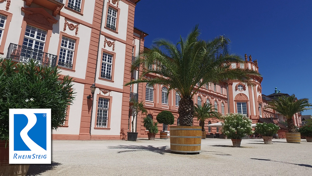
Die Schlussetappe vom Rheinsteigs führt uns zurück an das Ufer des Rheins. Auf den ersten 8km werden wir durch Waldgebiete geführt. Im Anschluss folgen wenige Km durch die Weinberge von Frauenstein. Kurz vor Krembergstraße verläuft der RS zwischen Schrebergärten hindurch bevor wir den Ortsbereich von Lindenviertel durchlaufen und wieder an den Rhein kommen. Die letzten Meter sollten ursprünglich am Rhein entlang verlaufen bis wir uns Ziel das Schloss Biebrich erreichen.

Galeria trasy

Mapa trasy i profil wysokości

  • Open Street Map
  • Google
Minimum height 82 m Maximum height 338 m Widok szczegółowy

More about the tour author

schleidy
Member since 2013

Send private message

Komentarze

GPS tracks

Trackpoints
  • GPX / Garmin Map Source (gpx) download
  • TCX / Garmin Training Center® (tcx) download
  • CRS / Garmin Training Center® (crs) download
  • Google Earth (kml) download
  • G7ToWin (g7t) download
  • TTQV (trk) download
  • Overlay (ovl) download
  • Fugawi (txt) download
  • Kompass (DAV) Track (tk) download
  • Karta trasy (pdf) download
  • Original file of the author (gpx) download

More about the tour author

schleidy
Member since 2013

Send private message
Share track
Add to my favorites
Remove from my favorites
Edit tags
My score
Rate
Trasa: 21. Etappe Rheinsteig: Schlangenbad - Wiesbaden
Rodzaj: Wędrówki
Długość: 16,7 km
Evaluated on:
Czas trwania:
Day(s)
Hour(s)
Minute(s)
Ocena: Krajobraz Czynnik zadowolenia Kondycja Technika