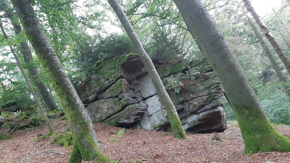
Wanderung von Oberkappl entlang des Osterbaches am Bärenlochweg bis zum Eidenberger Lusen.
Ständiger Aufstieg
Vom Eidenberger Lusen Abstieg nach Eidenberg. Entlang der Ranna zum Rannastausee dieser wird noch umrundet und auf Asphalt wieder retour nach Oberkappl
Galeria trasy
Mapa trasy i profil wysokości
Minimum height 489 m
Maximum height 721 m
Komentarze

GPS tracks
Trackpoints-
GPX / Garmin Map Source (gpx) download
-
TCX / Garmin Training Center® (tcx) download
-
CRS / Garmin Training Center® (crs) download
-
Google Earth (kml) download
-
G7ToWin (g7t) download
-
TTQV (trk) download
-
Overlay (ovl) download
-
Fugawi (txt) download
-
Kompass (DAV) Track (tk) download
-
Karta trasy (pdf) download
-
Original file of the author (gpx) download
Add to my favorites
Remove from my favorites
Edit tags
Open track
My score
Rate


