Login

Zapomniałeś swój login?

Cookies have to be accepted!
Your browser's cookie functionality is disabled. Please enable this functionality.

Not a member yet?

Register now
Login

Available for registred users only

Log in to use this feature.

Zapomniałeś swój login?

Cookies have to be accepted!
Your browser's cookie functionality is disabled. Please enable this functionality.

Not a member yet?

Register now
Filter
Kategorie
Advanced filters
  • Długość (km)
  • Wysokość
Zapisz filtr Reset filter

TrackRank

QRCode

Technical data

Długość11,4 km Wysokość347 m Way down351 m Czas trwania03:30 h:m Data30.08.2020
Oceny Author Krajobraz Czynnik zadowolenia Kondycja Technika

Statystyka

410 Widoki Oceny 19 Downloads / Pliki do pobrania Przeciętnie
Rate
  • Karta trasy
  • Dojazd
  • Downloads / Pliki do pobrania
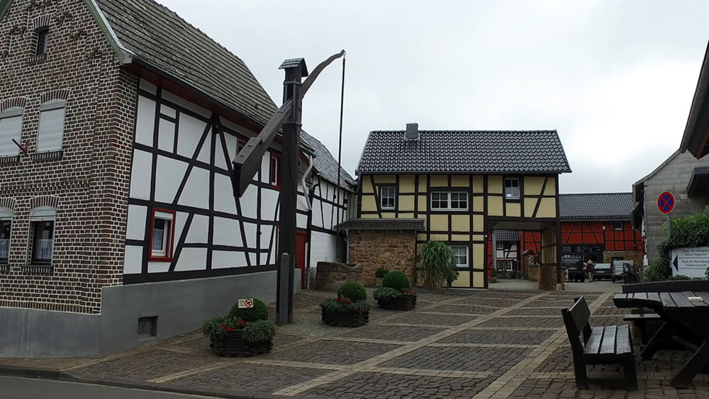
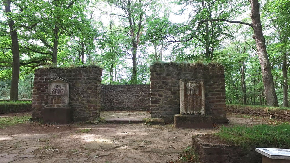
Von Nöten aus starten wir die etwas mehr als 11 km Rundwanderung. Wir durchlaufen den Ort Nöthen und gehen zum Steinbüchel Bergan. Von Dort führt der weiter Weg hinunter ins Hornbachtal, bevor es wieder hinauf zur römischen Tempelanlage geht. Durch das Wespeltal ist unser nächstes Ziel  der Jakob Kneip Aussichtspunkt. Über einen langen leicht abfallenden Weg erreichen wir den Ort Gilsdorf bevor es wieder hinauf nach Nöthen geht.

Galeria trasy

Mapa trasy i profil wysokości

  • Open Street Map
  • Google
Minimum height 304 m Maximum height 468 m Widok szczegółowy

More about the tour author

schleidy
Member since 2013

Send private message

Komentarze

GPS tracks

Trackpoints
  • GPX / Garmin Map Source (gpx) download
  • TCX / Garmin Training Center® (tcx) download
  • CRS / Garmin Training Center® (crs) download
  • Google Earth (kml) download
  • G7ToWin (g7t) download
  • TTQV (trk) download
  • Overlay (ovl) download
  • Fugawi (txt) download
  • Kompass (DAV) Track (tk) download
  • Karta trasy (pdf) download
  • Original file of the author (gpx) download

More about the tour author

schleidy
Member since 2013

Send private message
Share track
Add to my favorites
Remove from my favorites
Edit tags
My score
Rate
Trasa: Rundwanderung Nöthen,Maronentempel, Gilsdorf Nöten
Rodzaj: Wędrówki
Długość: 11,4 km
Evaluated on:
Czas trwania:
Day(s)
Hour(s)
Minute(s)
Ocena: Krajobraz Czynnik zadowolenia Kondycja Technika