Login

Zapomniałeś swój login?

Cookies have to be accepted!
Your browser's cookie functionality is disabled. Please enable this functionality.

Not a member yet?

Register now
Login

Available for registred users only

Log in to use this feature.

Zapomniałeś swój login?

Cookies have to be accepted!
Your browser's cookie functionality is disabled. Please enable this functionality.

Not a member yet?

Register now
Filter
Kategorie
Advanced filters
  • Długość (km)
  • Wysokość
Zapisz filtr Reset filter

TrackRank

QRCode

Technical data

Długość26,0 km Wysokość532 m Way down529 m Czas trwania00:00 h:m Data11.09.2020
Oceny Author Krajobraz Czynnik zadowolenia Kondycja Technika

Statystyka

169 Widoki 1 Ocena 26 Downloads / Pliki do pobrania 4.00 Przeciętnie
Rate
  • Karta trasy
  • Dojazd
  • Downloads / Pliki do pobrania

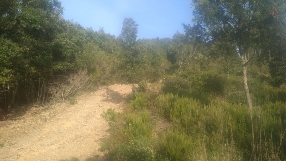
Nette kleine Tour bei Castiglione. Die Wege sind durchweg gut fahrbar, was in der Region keine Selbstverständlichkeit ist. Ich empfehle die Tour morgens zu machen, zumindest im Sommer. sonst könnte es recht warm werden.

Auch wenn man sonst kaum eine Menschenseele trifft: man ist nicht alleine. Es summt und brummt einem ständig um die Ohren. Und immer wieder muss man einen lästigen Blutsauger abwehren.

Trotzdem macht es Spaß wegen der herrlichen Ausblicke.

Galeria trasy

Mapa trasy i profil wysokości

  • Open Street Map
  • Google
Minimum height 8 m Maximum height 523 m Widok szczegółowy

More about the tour author

buehlems
Member since 2008

Send private message

Komentarze

GPS tracks

Trackpoints
  • GPX / Garmin Map Source (gpx) download
  • TCX / Garmin Training Center® (tcx) download
  • CRS / Garmin Training Center® (crs) download
  • Google Earth (kml) download
  • G7ToWin (g7t) download
  • TTQV (trk) download
  • Overlay (ovl) download
  • Fugawi (txt) download
  • Kompass (DAV) Track (tk) download
  • Karta trasy (pdf) download
  • Original file of the author (gpx) download

More about the tour author

buehlems
Member since 2008

Send private message
Share track
Add to my favorites
Remove from my favorites
Edit tags
My score
Rate
Trasa: Unterwegs mit Freunden in Castiglione della Pescaia
Rodzaj: Rower górski (MTB)
Długość: 26,0 km
Evaluated on:
Czas trwania:
Day(s)
Hour(s)
Minute(s)
Ocena: Krajobraz Czynnik zadowolenia Kondycja Technika