Login

Zapomniałeś swój login?

Cookies have to be accepted!
Your browser's cookie functionality is disabled. Please enable this functionality.

Not a member yet?

Register now
Login

Available for registred users only

Log in to use this feature.

Zapomniałeś swój login?

Cookies have to be accepted!
Your browser's cookie functionality is disabled. Please enable this functionality.

Not a member yet?

Register now
Filter
Kategorie
Advanced filters
  • Długość (km)
  • Wysokość
Zapisz filtr Reset filter

TrackRank

QRCode

Technical data

Długość43,9 km Wysokość850 m Way down858 m Czas trwania02:30 h:m Data15.11.2020
Oceny Author Krajobraz Czynnik zadowolenia Kondycja Technika

Statystyka

1306 Widoki Oceny 118 Downloads / Pliki do pobrania Przeciętnie
Rate
  • Karta trasy
  • Dojazd
  • Downloads / Pliki do pobrania
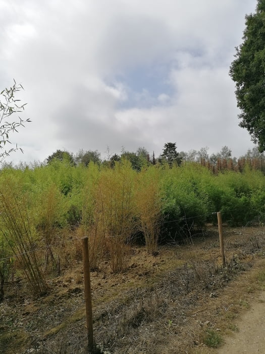
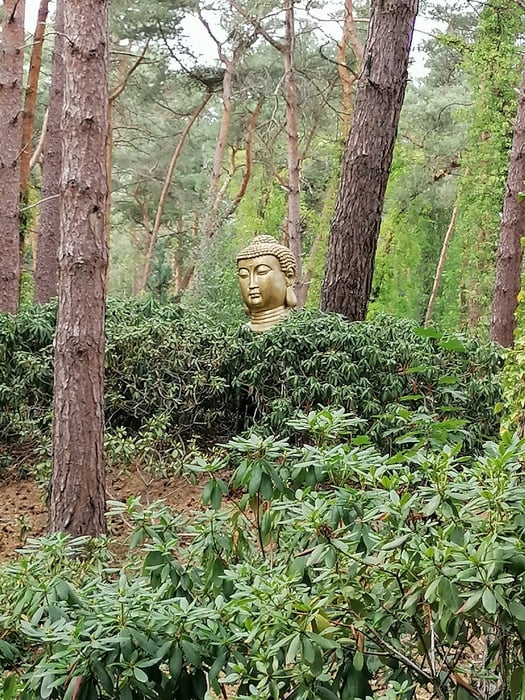
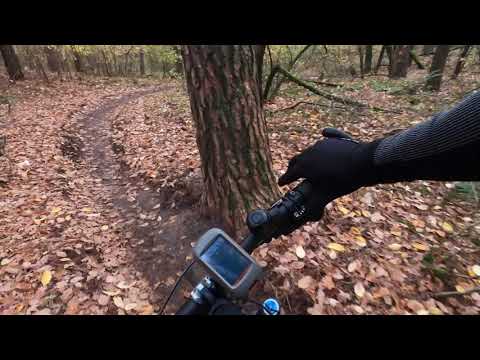
Voordat ik deze tocht publiceerde ben ik niet over een nacht ijs gegaan, na jaren mountainbiken in dit gebied is dit toch wel het beste wat dit gebied te bieden heeft. Dit is een tocht die vol uitdagingen zit met veel korte klimmetjes en veel single tracks, landschapelijk is deze tocht ook nog eens de moeite waard. De tocht bestaat ongeveer uit 40 km onverharde en 4 km verharde weg en zit vooral boordevol met single tracks. 

Galeria trasy

Mapa trasy i profil wysokości

  • Open Street Map
  • Google
Minimum height -55 m Maximum height 40 m Widok szczegółowy

More about the tour author

peterwijnhoven
Member since 2013

Send private message

Komentarze

GPS tracks

Trackpoints
  • GPX / Garmin Map Source (gpx) download
  • TCX / Garmin Training Center® (tcx) download
  • CRS / Garmin Training Center® (crs) download
  • Google Earth (kml) download
  • G7ToWin (g7t) download
  • TTQV (trk) download
  • Overlay (ovl) download
  • Fugawi (txt) download
  • Kompass (DAV) Track (tk) download
  • Karta trasy (pdf) download
  • Original file of the author (gpx) download

More about the tour author

peterwijnhoven
Member since 2013

Send private message
Share track
Add to my favorites
Remove from my favorites
Edit tags
My score
Rate
Trasa: MTB Maasbree-Boekend-Baarlo-Helden
Rodzaj: Rower górski (MTB)
Długość: 43,9 km
Evaluated on:
Czas trwania:
Day(s)
Hour(s)
Minute(s)
Ocena: Krajobraz Czynnik zadowolenia Kondycja Technika