Login

Zapomniałeś swój login?

Cookies have to be accepted!
Your browser's cookie functionality is disabled. Please enable this functionality.

Not a member yet?

Register now
Login

Available for registred users only

Log in to use this feature.

Zapomniałeś swój login?

Cookies have to be accepted!
Your browser's cookie functionality is disabled. Please enable this functionality.

Not a member yet?

Register now
Filter
Kategorie
Advanced filters
  • Długość (km)
  • Wysokość
Zapisz filtr Reset filter

TrackRank

QRCode

Technical data

Długość33,9 km Wysokość8 m Way down9 m Czas trwania01:00 h:m Data24.06.2008
Oceny Author Krajobraz Czynnik zadowolenia Kondycja Technika

Statystyka

730 Widoki Oceny 66 Downloads / Pliki do pobrania Przeciętnie
Rate
  • Karta trasy
  • Dojazd
  • Downloads / Pliki do pobrania
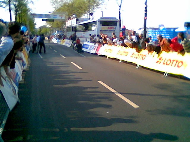
Am 6. September endet die Deutschlandtour 2008 in Bremen mit einem Einzelzeitfahren. An diesem Tag werden die "Jedermänner und danach die Profis über diese Strecke (8.Etappe) geschickt. Für alle die teilnehmen, die Tour mit ein paar Beschreibungen (WPs) der Streckenbeschaffenheit. (Höhenprofil bitte aus Link entnehmen).

Further information at

http://www.skoda-time-trial.de/

Mapa trasy i profil wysokości

  • Open Street Map
  • Google
Minimum height 1 m Maximum height 6 m Widok szczegółowy

More about the tour author

NavMike
Member since 2008

Send private message

Komentarze

GPS tracks

Trackpoints
  • GPX / Garmin Map Source (gpx) download
  • TCX / Garmin Training Center® (tcx) download
  • CRS / Garmin Training Center® (crs) download
  • Google Earth (kml) download
  • G7ToWin (g7t) download
  • TTQV (trk) download
  • Overlay (ovl) download
  • Fugawi (txt) download
  • Kompass (DAV) Track (tk) download
  • Karta trasy (pdf) download
  • Original file of the author (gpx) download

More about the tour author

NavMike
Member since 2008

Send private message
Share track
Add to my favorites
Remove from my favorites
Edit tags
My score
Rate
Trasa: EZF-Strecke Deutschlandtour 2008 V1.1
Rodzaj: Rower szosowy
Długość: 33,9 km
Evaluated on:
Czas trwania:
Day(s)
Hour(s)
Minute(s)
Ocena: Krajobraz Czynnik zadowolenia Kondycja Technika