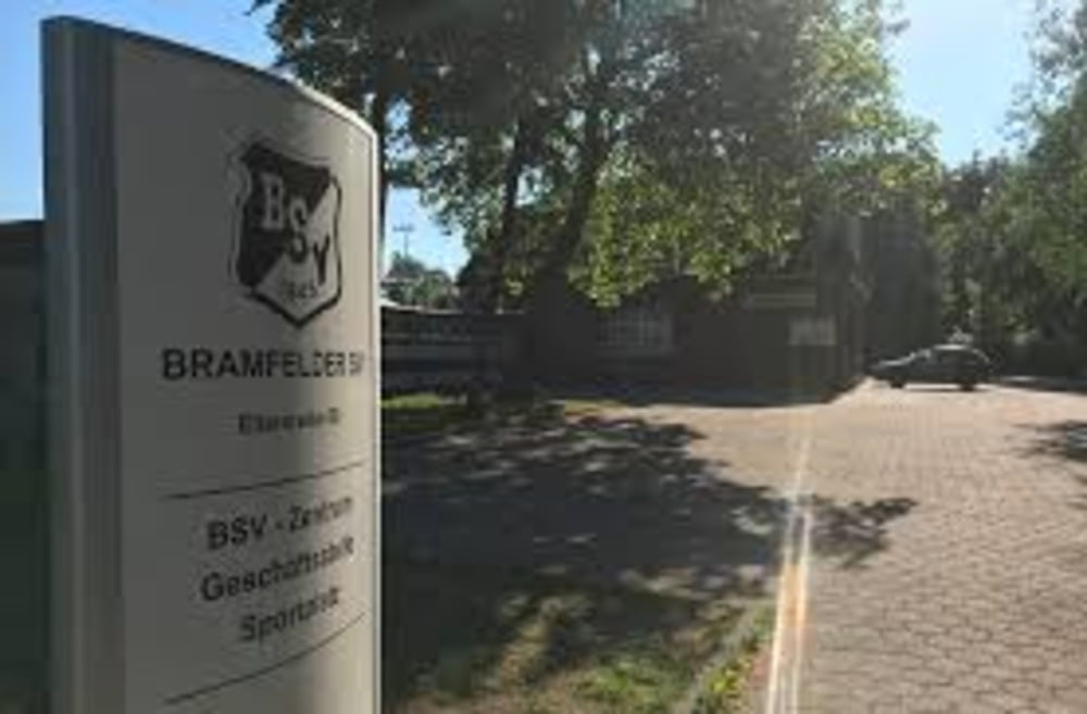
Vom BSV Zentrum in Richtung Bauer Kruse und durch viele Kleingärtenwege bis zum Rückhaltebecken der Osterbek. Eventuelle Umrundung und am Beachpark vorbei. Über Wohnstraßen und leichte Waldwege wieder bis zum BSV Zentrum.
Galeria trasy
Mapa trasy i profil wysokości
Minimum height 99999 m
Maximum height -99999 m
Komentarze

GPS tracks
Trackpoints-
GPX / Garmin Map Source (gpx) download
-
TCX / Garmin Training Center® (tcx) download
-
CRS / Garmin Training Center® (crs) download
-
Google Earth (kml) download
-
G7ToWin (g7t) download
-
TTQV (trk) download
-
Overlay (ovl) download
-
Fugawi (txt) download
-
Kompass (DAV) Track (tk) download
-
Karta trasy (pdf) download
-
Original file of the author (gpx) download
Add to my favorites
Remove from my favorites
Edit tags
Open track
My score
Rate


