Login

Zapomniałeś swój login?

Cookies have to be accepted!
Your browser's cookie functionality is disabled. Please enable this functionality.

Not a member yet?

Register now
Login

Available for registred users only

Log in to use this feature.

Zapomniałeś swój login?

Cookies have to be accepted!
Your browser's cookie functionality is disabled. Please enable this functionality.

Not a member yet?

Register now
Filter
Kategorie
Advanced filters
  • Długość (km)
  • Wysokość
Zapisz filtr Reset filter

TrackRank

QRCode

Technical data

Długość33,6 km Wysokość69 m Way down67 m Czas trwania02:00 h:m Data03.05.2020
Oceny Author Krajobraz Czynnik zadowolenia Kondycja Technika

Statystyka

217 Widoki Oceny 16 Downloads / Pliki do pobrania Przeciętnie
Rate
  • Karta trasy
  • Dojazd
  • Downloads / Pliki do pobrania
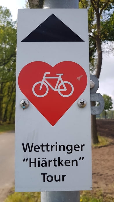
Von Rheine aus radelte man über den Bahnradweg "Rheine-Coesfeld" nach Hauenhorst und weiter über Catenhorn und St. Arnold bis kurz vor Steinfurt. Bei Bahnkilometer 92,8 biegt man rechts ab und folgt der Wettringer "Hiärtken" Tour. Nachdem Wettringen erreicht ist, begab man sich auf den nächsten Bahnradweg (Rheine-Ochtrup) und fährt ihm entlang über Neuenkirchen bis nach Rheine, wo an der Ems die letzten Kilometer unter die Räder genommen werden.

Galeria trasy

Mapa trasy i profil wysokości

  • Open Street Map
  • Google
Minimum height 84 m Maximum height 105 m Widok szczegółowy

More about the tour author

Emsradler
Member since 2009

Send private message

Komentarze

GPS tracks

Trackpoints
  • GPX / Garmin Map Source (gpx) download
  • TCX / Garmin Training Center® (tcx) download
  • CRS / Garmin Training Center® (crs) download
  • Google Earth (kml) download
  • G7ToWin (g7t) download
  • TTQV (trk) download
  • Overlay (ovl) download
  • Fugawi (txt) download
  • Kompass (DAV) Track (tk) download
  • Karta trasy (pdf) download
  • Original file of the author (gpx) download

More about the tour author

Emsradler
Member since 2009

Send private message
Share track
Add to my favorites
Remove from my favorites
Edit tags
My score
Rate
Trasa: Sonntagstour über zwei Bahnradwege
Rodzaj: Rower trekkingowy
Długość: 33,6 km
Evaluated on:
Czas trwania:
Day(s)
Hour(s)
Minute(s)
Ocena: Krajobraz Czynnik zadowolenia Kondycja Technika