Login

Zapomniałeś swój login?

Cookies have to be accepted!
Your browser's cookie functionality is disabled. Please enable this functionality.

Not a member yet?

Register now
Login

Available for registred users only

Log in to use this feature.

Zapomniałeś swój login?

Cookies have to be accepted!
Your browser's cookie functionality is disabled. Please enable this functionality.

Not a member yet?

Register now
Filter
Kategorie
Advanced filters
  • Długość (km)
  • Wysokość
Zapisz filtr Reset filter

TrackRank

QRCode

Technical data

Długość54,8 km Wysokość1609 m Way down1561 m Czas trwania05:00 h:m Data24.06.2008
Oceny Author Krajobraz Czynnik zadowolenia Kondycja Technika

Statystyka

2262 Widoki 2 Oceny 560 Downloads / Pliki do pobrania 2.00 Przeciętnie
Rate
  • Karta trasy
  • Dojazd
  • Downloads / Pliki do pobrania

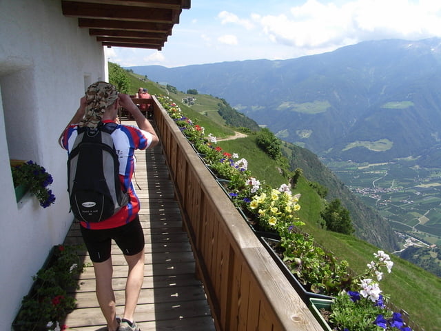
Von Latsch zum Schloss Juval von Reinhold Messner, weiter auf einem Waalweg. Dann vor Santa Katernina hoch zum Meranerh

Further information at

http://www.biketreff-niefern.de

Galeria trasy

Mapa trasy i profil wysokości

  • Open Street Map
  • Google
Minimum height 531 m Maximum height 1569 m Widok szczegółowy

More about the tour author

winklem
Member since 2005

Send private message

Komentarze

chrischulte on 25.05.2009

Tragepassage

Hallo,
Vielleicht sollte der Tourenbeschreibung hinzugefügt werden, dass ein Teil des Meraner Höhenweges -im Bereich des "Kirchbaches"- nur mit einer 1 1/2 stündigen Tragepassage zu bewältigen ist.
Sonst ist die Tour aber sehr schön.
Start an der Pension Sattlerengelhof in Latsch

GPS tracks

Trackpoints
  • GPX / Garmin Map Source (gpx) download
  • TCX / Garmin Training Center® (tcx) download
  • CRS / Garmin Training Center® (crs) download
  • Google Earth (kml) download
  • G7ToWin (g7t) download
  • TTQV (trk) download
  • Overlay (ovl) download
  • Fugawi (txt) download
  • Kompass (DAV) Track (tk) download
  • Karta trasy (pdf) download
  • Original file of the author (gpx) download

More about the tour author

winklem
Member since 2005

Send private message
Share track
Add to my favorites
Remove from my favorites
Edit tags
My score
Rate
Trasa: Von Latsch zum Schloss Juval (Reinhold Messner) weiter auf dem Meranerhöhenweg Nr. 24
Rodzaj: Rower górski (MTB)
Długość: 54,8 km
Evaluated on:
Czas trwania:
Day(s)
Hour(s)
Minute(s)
Ocena: Krajobraz Czynnik zadowolenia Kondycja Technika