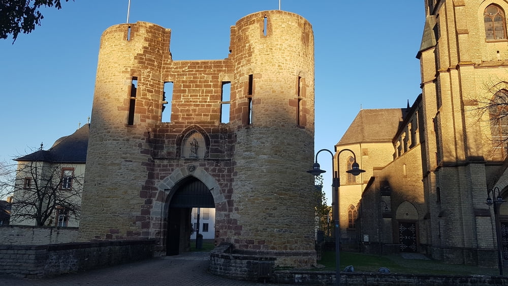
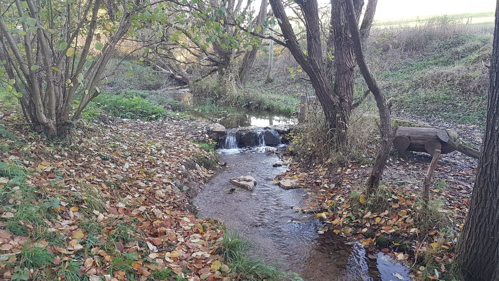
ich habe diese Wanderung aus einer Broschüre von der Touristinformation Trier_Luxemburg entnommen und der Track von ihrer Internetseite heruntergeladen. Ich starte die Wanderung ebenfalls an dem Stadttor „Burgport“ zum Wallgraben. Über eine Holzbrücke folge ich dem grünen Baumsymbol mit der Nummer 13. In einem Bogen geht es hinauf auf den Helenenberg, ehemals „Spitol = Spital. Es lohnt sich hier ein Rundgang. Über den Kreuzweg geht es dann hinunter in die ehemals reiche Stadt mit alten Gebäuden, einem Wohnturm, Burgreste in der alten römischen Villenanlage.
Further information at
https://www.lux-trier.info/volltextsuche?form=fulltext&query=welschbilligGaleria trasy
Mapa trasy i profil wysokości
Minimum height 268 m
Maximum height 356 m
Komentarze

Anfahrt mit dem Auto: Welschbillig, Von-Eltz-Straße 11, N49 51.332 E6 34.132
oder mit dem Bus Linie 400 von Trier Hbf nach Welschbillig, Petersplatz
GPS tracks
Trackpoints-
GPX / Garmin Map Source (gpx) download
-
TCX / Garmin Training Center® (tcx) download
-
CRS / Garmin Training Center® (crs) download
-
Google Earth (kml) download
-
G7ToWin (g7t) download
-
TTQV (trk) download
-
Overlay (ovl) download
-
Fugawi (txt) download
-
Kompass (DAV) Track (tk) download
-
Karta trasy (pdf) download
-
Original file of the author (gpx) download
Add to my favorites
Remove from my favorites
Edit tags
Open track
My score
Rate


