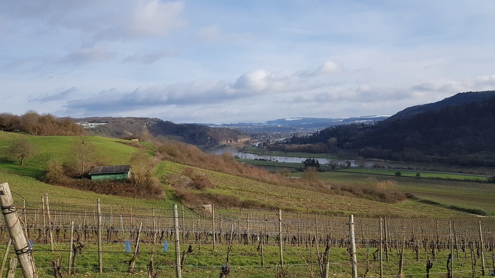
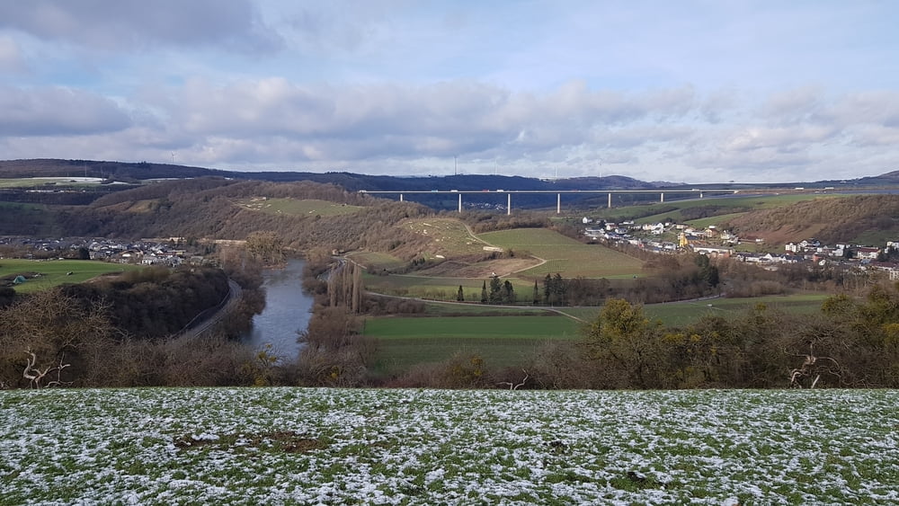
Ich habe diese Wanderung aus einer Broschüre von der Touristinformation Trier_Luxemburg entnommen. Den Track habe ich auf Outdoor gefunden. Gestartet bin ich am Parkplatz des Hotel/Restaurants Löwener Mühle an der B49.
Further information at
https://www.outdooractive.com/de/route/wanderung/igel/wanderweg-igel-5-roemerstrasse/10799520/#grefGaleria trasy
Mapa trasy i profil wysokości
Minimum height 131 m
Maximum height 252 m
Komentarze

Löwener Mühle, 54298 Igel an der B49, ( N49 42.889 E6 31.519 )
GPS tracks
Trackpoints-
GPX / Garmin Map Source (gpx) download
-
TCX / Garmin Training Center® (tcx) download
-
CRS / Garmin Training Center® (crs) download
-
Google Earth (kml) download
-
G7ToWin (g7t) download
-
TTQV (trk) download
-
Overlay (ovl) download
-
Fugawi (txt) download
-
Kompass (DAV) Track (tk) download
-
Karta trasy (pdf) download
-
Original file of the author (gpx) download
Add to my favorites
Remove from my favorites
Edit tags
Open track
My score
Rate


