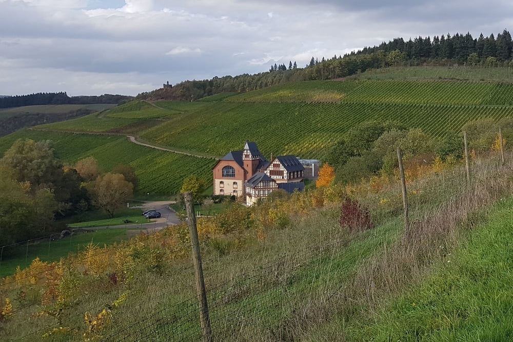
Es ist eine abwechslungsreiche Wanderung Nähe Universität mit schönen Ausblicken nach Trier und ins Avelsbacher Tal, die mit einem kleinen Anstieg erkauft werden müssen. Der renaturierte Avelsbach lädt zum verweilen ein.
Further information at
https://wanderwege-trier.de/2017/05/16/wanderweg-thiels-burg-domaene-avelsbach/Mapa trasy i profil wysokości
Minimum height 152 m
Maximum height 276 m
Komentarze

Mit dem Bus Linie 3 bis Trier, Kohlenstrasse Ecke Kolonnenweg (N49 45.672 E6 40.318)
oder Domäne Avelsbach 2, 54296 Trier (N49 45.269 E6 41.502)
GPS tracks
Trackpoints-
GPX / Garmin Map Source (gpx) download
-
TCX / Garmin Training Center® (tcx) download
-
CRS / Garmin Training Center® (crs) download
-
Google Earth (kml) download
-
G7ToWin (g7t) download
-
TTQV (trk) download
-
Overlay (ovl) download
-
Fugawi (txt) download
-
Kompass (DAV) Track (tk) download
-
Karta trasy (pdf) download
-
Original file of the author (gpx) download
Add to my favorites
Remove from my favorites
Edit tags
Open track
My score
Rate


