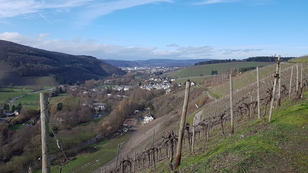
Diese Weinbergswanderung ist nichts für heisse Sommertage, da sie vorwiegend in Serpentinen mit schönen Weitblicken ins Ruwertal im Weinberg verläuft.
Galeria trasy
Mapa trasy i profil wysokości
Minimum height 230 m
Maximum height 304 m
Komentarze

Mit Bus Linie 207 von Trier nach Kasel Sportplatz oder mit dem Auto nach Kasel, Am Sportplatz 9, K140 ( N49 45.875 E6 44.501)
GPS tracks
Trackpoints-
GPX / Garmin Map Source (gpx) download
-
TCX / Garmin Training Center® (tcx) download
-
CRS / Garmin Training Center® (crs) download
-
Google Earth (kml) download
-
G7ToWin (g7t) download
-
TTQV (trk) download
-
Overlay (ovl) download
-
Fugawi (txt) download
-
Kompass (DAV) Track (tk) download
-
Karta trasy (pdf) download
-
Original file of the author (gpx) download
Add to my favorites
Remove from my favorites
Edit tags
Open track
My score
Rate


