Login

Zapomniałeś swój login?

Cookies have to be accepted!
Your browser's cookie functionality is disabled. Please enable this functionality.

Not a member yet?

Register now
Login

Available for registred users only

Log in to use this feature.

Zapomniałeś swój login?

Cookies have to be accepted!
Your browser's cookie functionality is disabled. Please enable this functionality.

Not a member yet?

Register now
Filter
Kategorie
Advanced filters
  • Długość (km)
  • Wysokość
Zapisz filtr Reset filter

TrackRank

QRCode

Technical data

Długość47,6 km Wysokość847 m Way down850 m Czas trwania03:15 h:m Data31.03.2021
Oceny Author Krajobraz Czynnik zadowolenia Kondycja Technika

Statystyka

251 Widoki Oceny 41 Downloads / Pliki do pobrania Przeciętnie
Rate
  • Karta trasy
  • Dojazd
  • Downloads / Pliki do pobrania

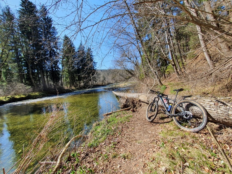
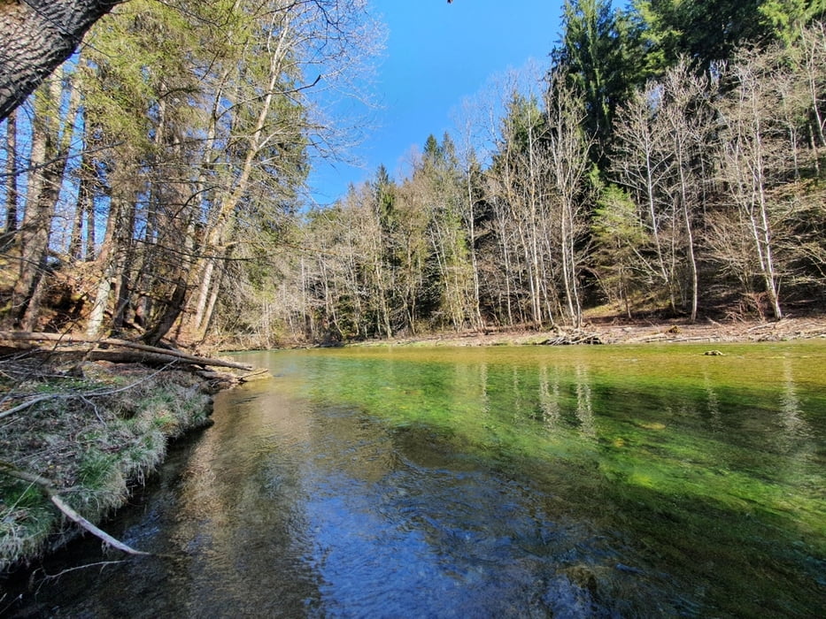
Schöne Schleife druchs Manfalltal mit Start in Großhelfendorf. 

Mix aus Trails, Waldwegen, kurzen Nebenstraßenstücken. Man könnte natürlich den Trailanteil noch weiterausbauen und die Runde zeitlich noch länger gestalten.

Auffahrt über den Taubenberg mit z. T. Abfahrt über noch geöffneten Trail. 

Ist bis auf ein paar umgestürzte Bäume alles fahrbar. 


Viel Spaß


Galeria trasy

Mapa trasy i profil wysokości

  • Open Street Map
  • Google
Minimum height 543 m Maximum height 927 m Widok szczegółowy

More about the tour author

millen
Member since 2020

Send private message

Komentarze

GPS tracks

Trackpoints
  • GPX / Garmin Map Source (gpx) download
  • TCX / Garmin Training Center® (tcx) download
  • CRS / Garmin Training Center® (crs) download
  • Google Earth (kml) download
  • G7ToWin (g7t) download
  • TTQV (trk) download
  • Overlay (ovl) download
  • Fugawi (txt) download
  • Kompass (DAV) Track (tk) download
  • Karta trasy (pdf) download
  • Original file of the author (gpx) download

More about the tour author

millen
Member since 2020

Send private message
Share track
Add to my favorites
Remove from my favorites
Edit tags
My score
Rate
Trasa: Mangfalltrails - Taubenberg
Rodzaj: Rower górski (MTB)
Długość: 47,6 km
Evaluated on:
Czas trwania:
Day(s)
Hour(s)
Minute(s)
Ocena: Krajobraz Czynnik zadowolenia Kondycja Technika