


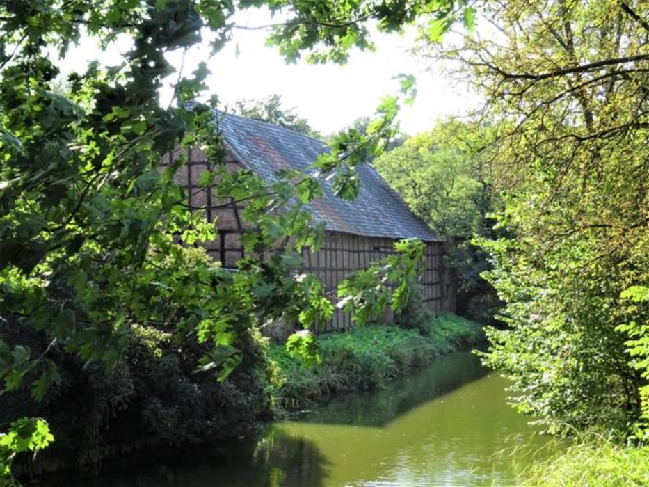
Die Wanderung führt zu zwei Beispielen von Wohnsiedlung in Zeiten des Klimawandels - eins ist die Wohnsiedlung Am Beethovenpark und das andere die Wohnseidlung Stadtwaldviertel in Junkersdorf - errichtet auf dem Gelände der ehemaligen Etzelkaserne. Berührt werden bei der Wanderung der Decksteiner Weiher, Fort VI, der renaturierte Frechener Bach, der Stüttgenhof unjd der Adenauerweiher. Eine Schautafel illustriert wie das neu geschaffene Bachbett des Frechener Baches mit Wasser gefüllt wird. Am Rande wird bei der Wanderung das Arboretum im Äußeren Grüngürtel berührt und paasiert wird ein archäologisches Denkmal, das auf eine sechseinhalbtausendjährige Siedlungsgeschichte nahe des Frechener Baches verweist.
Galeria trasy


Mapa trasy i profil wysokości
Minimum height 99999 m
Maximum height -99999 m
More about the tour author

|
nc-drbefranetcologne |
Komentarze

Start: Hst Hermeskeiler Platz von KVB-Linie 9
Ziel: Hst Alter Militärring von KVB-Linie 1 und der Busse 141, 143, 144
GPS tracks
Trackpoints-
GPX / Garmin Map Source (gpx) download
-
TCX / Garmin Training Center® (tcx) download
-
CRS / Garmin Training Center® (crs) download
-
Google Earth (kml) download
-
G7ToWin (g7t) download
-
TTQV (trk) download
-
Overlay (ovl) download
-
Fugawi (txt) download
-
Kompass (DAV) Track (tk) download
-
Karta trasy (pdf) download
-
Original file of the author (gpx) download
More about the tour author
|
|
nc-drbefranetcologne |
Add to my favorites
Remove from my favorites
Edit tags
Open track
My score
Rate