
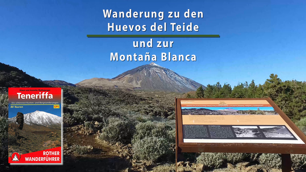

Heute möchten wir heute hoch hinaus, in den Nationalpark del Teide. Dort wandern wir vorbei an den berühmten Teide-Eiern zur Montaña Blanca. Durch das La Orotava-Tal fahren wir zum Ausgangspunkt am Centro de Visitantes.
Zu den gewaltigen Lavakugeln am Fuß des Teide geht es immer leicht bergan. Die Entstehung der »Teide-Eier«, es handelt sich um riesige Lavakugeln die einen Durchmesser von bis zu fünf Metern haben, ist immer noch nicht ganz geklärt. Von der Montaña Blanca blicken wir in die gewaltige Kaldera des Teides und gehen vorbei an der Riscos de la Fortaleza zurück zum Ausgangspunkt.
Galeria trasy


Mapa trasy i profil wysokości
Minimum height 2052 m
Maximum height 2748 m
More about the tour author
|
|
schleidy |
Komentarze

GPS tracks
Trackpoints-
GPX / Garmin Map Source (gpx) download
-
TCX / Garmin Training Center® (tcx) download
-
CRS / Garmin Training Center® (crs) download
-
Google Earth (kml) download
-
G7ToWin (g7t) download
-
TTQV (trk) download
-
Overlay (ovl) download
-
Fugawi (txt) download
-
Kompass (DAV) Track (tk) download
-
Karta trasy (pdf) download
-
Original file of the author (gpx) download
More about the tour author
|
|
schleidy |
Add to my favorites
Remove from my favorites
Edit tags
Open track
My score
Rate