Login

Zapomniałeś swój login?

Cookies have to be accepted!
Your browser's cookie functionality is disabled. Please enable this functionality.

Not a member yet?

Register now
Login

Available for registred users only

Log in to use this feature.

Zapomniałeś swój login?

Cookies have to be accepted!
Your browser's cookie functionality is disabled. Please enable this functionality.

Not a member yet?

Register now
Filter
Kategorie
Advanced filters
  • Długość (km)
  • Wysokość
Zapisz filtr Reset filter

TrackRank

QRCode

Technical data

Długość33,9 km Wysokość450 m Way down478 m Czas trwania02:00 h:m Data11.05.2021
Oceny Author Krajobraz Czynnik zadowolenia Kondycja Technika

Statystyka

124 Widoki Oceny 4 Downloads / Pliki do pobrania Przeciętnie
Rate
  • Karta trasy
  • Dojazd
  • Downloads / Pliki do pobrania

Von Klagenfurt über Eibischhof nach Ponfeld und Mörtschen nach Faning, Nussberg, Krainig, dann steil bergauf zur Wallfahrtskirche. Zurück über Witsch, Windischbach, Retschach mit Abstecher nach St. Martin zurück nach Ponfeld und Klagenfurt.

Sechs Wallfahrten an verschiedenen Marienfesten führen alljährlich zur Filial- und Wallfahrtskirche Maria Sieben Schmerzen.
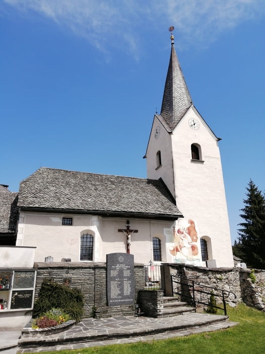
Galeria trasy

Mapa trasy i profil wysokości

  • Open Street Map
  • Google
Minimum height 443 m Maximum height 793 m Widok szczegółowy

More about the tour author

walderich
Member since 2012

Send private message

Komentarze

GPS tracks

Trackpoints
  • GPX / Garmin Map Source (gpx) download
  • TCX / Garmin Training Center® (tcx) download
  • CRS / Garmin Training Center® (crs) download
  • Google Earth (kml) download
  • G7ToWin (g7t) download
  • TTQV (trk) download
  • Overlay (ovl) download
  • Fugawi (txt) download
  • Kompass (DAV) Track (tk) download
  • Karta trasy (pdf) download
  • Original file of the author (gpx) download

More about the tour author

walderich
Member since 2012

Send private message
Share track
Add to my favorites
Remove from my favorites
Edit tags
My score
Rate
Trasa: Auf den Freudenberg
Rodzaj: Trasy rowerowe
Długość: 33,9 km
Evaluated on:
Czas trwania:
Day(s)
Hour(s)
Minute(s)
Ocena: Krajobraz Czynnik zadowolenia Kondycja Technika