Login

Zapomniałeś swój login?

Cookies have to be accepted!
Your browser's cookie functionality is disabled. Please enable this functionality.

Not a member yet?

Register now
Login

Available for registred users only

Log in to use this feature.

Zapomniałeś swój login?

Cookies have to be accepted!
Your browser's cookie functionality is disabled. Please enable this functionality.

Not a member yet?

Register now
Filter
Kategorie
Advanced filters
  • Długość (km)
  • Wysokość
Zapisz filtr Reset filter

TrackRank

QRCode

Technical data

Długość13,6 km Wysokość149 m Way down154 m Czas trwania03:08 h:m Data18.05.2021
Oceny Author Krajobraz Czynnik zadowolenia Kondycja Technika

Statystyka

243 Widoki Oceny 5 Downloads / Pliki do pobrania Przeciętnie
Rate
  • Karta trasy
  • Dojazd
  • Downloads / Pliki do pobrania

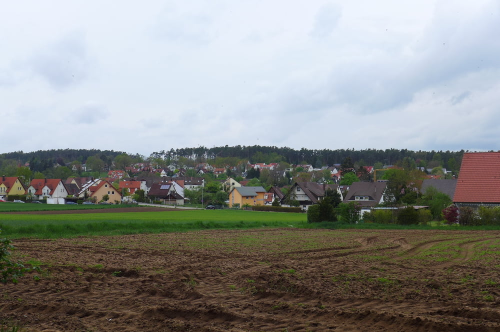
Das Ganze hier ist eine kleine Wassertrödelei im Fränkischen Binnenland; als da wären: der Main – Donau – Kanal, der Gaulnhofer Graben samt seiner Weiher , die Rednitzauen und der Zwieselbach, wo das Wasser meist nach Bier schmeckt.

Die Runde startete übrigens bei ALDI Süd in Limbach bzw. beim Franky Getränkemarkt.

Further information at

http://www.freiberg-service.de/

Galeria trasy

Mapa trasy i profil wysokości

  • Open Street Map
  • Google
Minimum height 307 m Maximum height 357 m Widok szczegółowy

More about the tour author

Saxoniaradler
Member since 2011

Send private message

Komentarze

Schwabach findet man südlich von Freiberg und Nürnberg. Dresden liegt viel tiefer im Osten! Camper sind eh pfiffig und finden den Weg allein.

GPS tracks

Trackpoints
  • GPX / Garmin Map Source (gpx) download
  • TCX / Garmin Training Center® (tcx) download
  • CRS / Garmin Training Center® (crs) download
  • Google Earth (kml) download
  • G7ToWin (g7t) download
  • TTQV (trk) download
  • Overlay (ovl) download
  • Fugawi (txt) download
  • Kompass (DAV) Track (tk) download
  • Karta trasy (pdf) download
  • Original file of the author (gpx) download

More about the tour author

Saxoniaradler
Member since 2011

Send private message
Share track
Add to my favorites
Remove from my favorites
Edit tags
My score
Rate
Trasa: Gaulnhofen samt Graben und Stockweiher von Limbach aus
Rodzaj: Wędrówki
Długość: 13,6 km
Evaluated on:
Czas trwania:
Day(s)
Hour(s)
Minute(s)
Ocena: Krajobraz Czynnik zadowolenia Kondycja Technika