
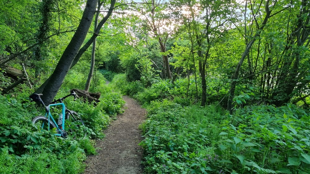

Eine Tour für das Crossrad oder Treckingrad. Die Tour startet in Hannover Ricklingen, geht durch Linden und dann nach Westen an Velber vorbei Richtung Lehnte. Der Tourverlauf geht überwiegend auf Radwegen, später auf Feld- und Waldwegen Ein sehr schönes Teilstück ist am Stemmer Berg. Hier gibt es kurze knackige Anstiege und leichte aber landschaftlich schöne Trails. Zurück geht es vorbei durch Göxe und Leveste, hier wird ein Stück auf der Straße gefahren. Als nächstes folgt ein Waldweg im Gehrdener Berg, danach geht es weiter zum Benther Berg und zurück über Empelde nach Hannover.
Galeria trasy

Mapa trasy i profil wysokości
Minimum height 73 m
Maximum height 151 m
More about the tour author

|
snake_1970 |
Komentarze

GPS tracks
Trackpoints-
GPX / Garmin Map Source (gpx) download
-
TCX / Garmin Training Center® (tcx) download
-
CRS / Garmin Training Center® (crs) download
-
Google Earth (kml) download
-
G7ToWin (g7t) download
-
TTQV (trk) download
-
Overlay (ovl) download
-
Fugawi (txt) download
-
Kompass (DAV) Track (tk) download
-
Karta trasy (pdf) download
-
Original file of the author (gpx) download
More about the tour author
|
|
snake_1970 |
Add to my favorites
Remove from my favorites
Edit tags
Open track
My score
Rate