

- Rundkurs im Uhrzeigersinn.
- Start/Ziel: Porto Recanati / Camping Bellamare.
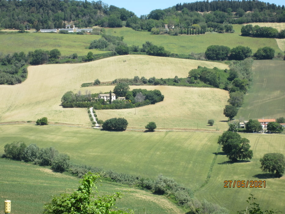
- Die Tour führt durch das Hinterland von Porto Recanati und Numana.
- Wegbeschaffenheit: Asfalt. Teils auf ziemlich befahrenen Provinzstrassen, bzw. Nebenstrassen mit mässigem bis keinem Verkehr.
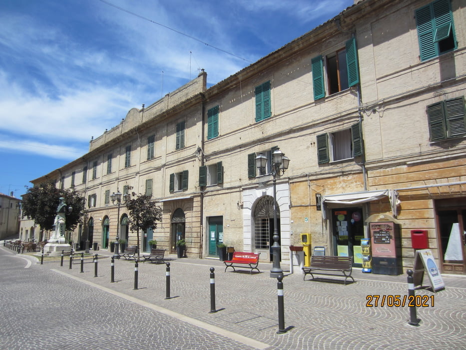
- Die Auffahrten zu den Ortschaften: Castelfidaro, Osimo und Camerano sind ziemlich steil.
- Auf der Piazza Roma in Camerano kann man in der Osteria "Maffy" vorzügliche "Gnocchi di patate rosse, mare bianco" geniessen.
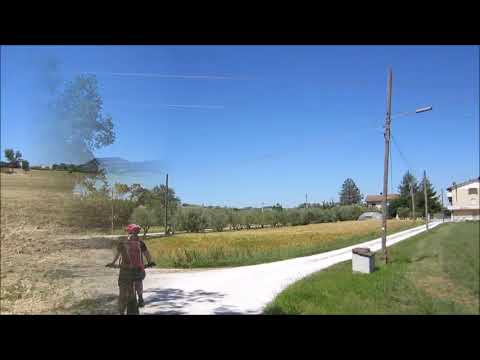
- Wir sind die Tour mit dem E-Bike gefahren.
- Nachgefahren nach dem Prospekt von "Conero by Bike".
Galeria trasy


Mapa trasy i profil wysokości
Minimum height -6 m
Maximum height 221 m
More about the tour author
|
|
MargesinFriedrich |
Komentarze

GPS tracks
Trackpoints-
GPX / Garmin Map Source (gpx) download
-
TCX / Garmin Training Center® (tcx) download
-
CRS / Garmin Training Center® (crs) download
-
Google Earth (kml) download
-
G7ToWin (g7t) download
-
TTQV (trk) download
-
Overlay (ovl) download
-
Fugawi (txt) download
-
Kompass (DAV) Track (tk) download
-
Karta trasy (pdf) download
-
Original file of the author (gpx) download
More about the tour author
|
|
MargesinFriedrich |
Add to my favorites
Remove from my favorites
Edit tags
Open track
My score
Rate