Login

Zapomniałeś swój login?

Cookies have to be accepted!
Your browser's cookie functionality is disabled. Please enable this functionality.

Not a member yet?

Register now
Login

Available for registred users only

Log in to use this feature.

Zapomniałeś swój login?

Cookies have to be accepted!
Your browser's cookie functionality is disabled. Please enable this functionality.

Not a member yet?

Register now
Filter
Kategorie
Advanced filters
  • Długość (km)
  • Wysokość
Zapisz filtr Reset filter

TrackRank

QRCode

Technical data

Długość50,4 km Wysokość68 m Way down74 m Czas trwania03:10 h:m Data29.05.2021
Oceny Author Krajobraz Czynnik zadowolenia Kondycja Technika

Statystyka

112 Widoki Oceny 8 Downloads / Pliki do pobrania Przeciętnie
Rate
  • Karta trasy
  • Dojazd
  • Downloads / Pliki do pobrania
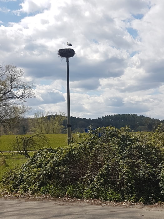
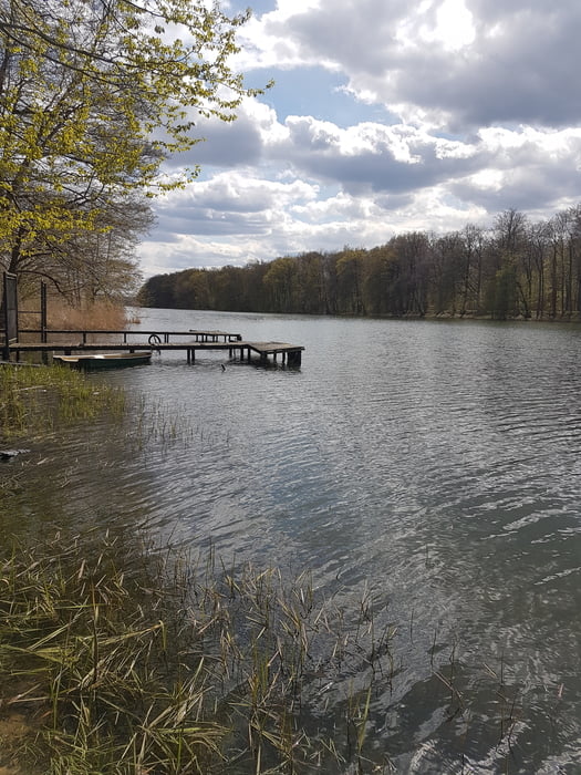
Die Tour startet in Preten vom alten Bahnwärterhäuschen in dem heute das Café "Schwarzes Schaf" ist (geöffnet Samstag und Sonntag). Zu Beginn führt der Weg nach Neuhaus auf der alten Bahnstrecke. Ab hier geht es für eine längere Strecke in den Wald. Die Wege sind unbefestigt, teilweise sandig. Nach dem Waldstück gehts auf befestigten kleinen Straßen an die Elbe. Auf dem Rückweg wechselt die Wegbeschaffenheit. Von Landstraße bis Grasweg (entlang am Sumter See) ist alles dabei.

Galeria trasy

Mapa trasy i profil wysokości

  • Open Street Map
  • Google
Minimum height 8 m Maximum height 28 m Widok szczegółowy

More about the tour author

kaysgpstouren
Member since 2011

Send private message

Komentarze

GPS tracks

Trackpoints
  • GPX / Garmin Map Source (gpx) download
  • TCX / Garmin Training Center® (tcx) download
  • CRS / Garmin Training Center® (crs) download
  • Google Earth (kml) download
  • G7ToWin (g7t) download
  • TTQV (trk) download
  • Overlay (ovl) download
  • Fugawi (txt) download
  • Kompass (DAV) Track (tk) download
  • Karta trasy (pdf) download
  • Original file of the author (gpx) download

More about the tour author

kaysgpstouren
Member since 2011

Send private message
Share track
Add to my favorites
Remove from my favorites
Edit tags
My score
Rate
Trasa: Grüner Jäger - Elbdeich
Rodzaj: Rower górski (MTB)
Długość: 50,4 km
Evaluated on:
Czas trwania:
Day(s)
Hour(s)
Minute(s)
Ocena: Krajobraz Czynnik zadowolenia Kondycja Technika