

Der Start verläuft über Oppède, Ménerbes und Bonnieux. Es folgt ein super schöner Streckenabschnitt zwischen Bonnieux und Lourmarin auf der "Schlösser-Route".
Ab Lourmarin Richtung Cavaillon gibt es noch einige nette Nebenstrecken.
Ab Les Borrys sollte man aber mit dem Rennrad auf der D973 bleiben. Mit dem Crosser oder Gravelbike geht's wie eingezeichnet rechts hoch auf den Chemin des Huguneots. Es ist zwar alles geteert, aber die Strasse ist in einem schlechten Zustand und wird schon seit langem nicht mehr repariert.
Dem nächsten Abzweig folgt man der Hauptstrasse wieder nach Mérindol und genießt dort einen Kaffee.
Ab Cavaillon geht's auf die Bahntrasse zurück nach Oppède.
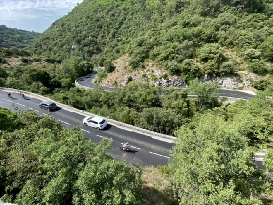
Galeria trasy


Mapa trasy i profil wysokości
Minimum height 92 m
Maximum height 422 m
More about the tour author
|
|
Mo_on_trails |
Komentarze

GPS tracks
Trackpoints-
GPX / Garmin Map Source (gpx) download
-
TCX / Garmin Training Center® (tcx) download
-
CRS / Garmin Training Center® (crs) download
-
Google Earth (kml) download
-
G7ToWin (g7t) download
-
TTQV (trk) download
-
Overlay (ovl) download
-
Fugawi (txt) download
-
Kompass (DAV) Track (tk) download
-
Karta trasy (pdf) download
-
Original file of the author (gpx) download
More about the tour author
|
|
Mo_on_trails |
Add to my favorites
Remove from my favorites
Edit tags
Open track
My score
Rate