


Wanderung mit vier Seen
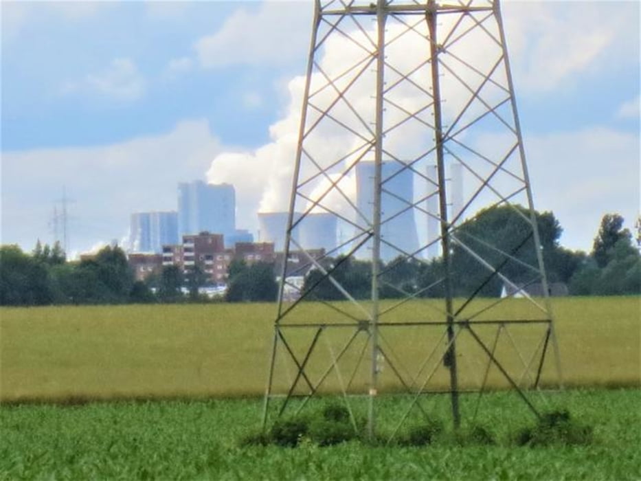
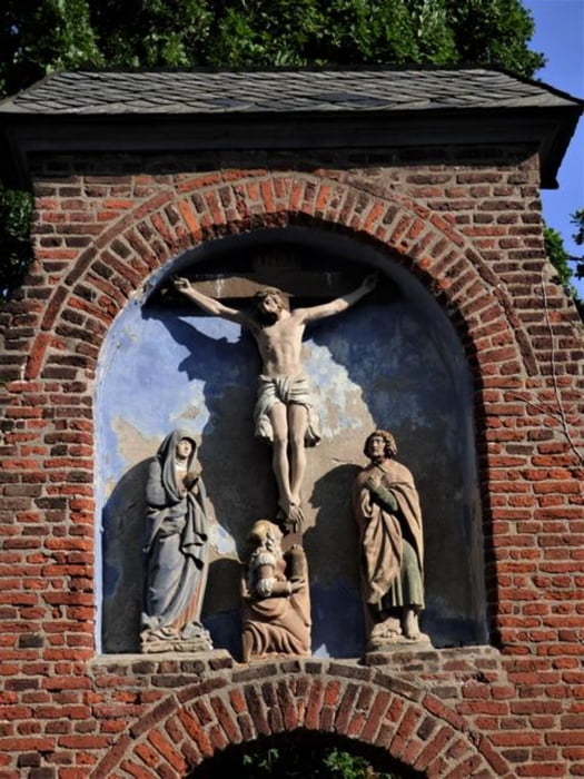
Die Wanderung berührt den Stöckheimer See und den Pescher See sowie den südliche und nördlichen Escher See. Von der Strecke entlang des Pescher und Escher Sees blickt man auf die fern hoch aufragenden Braunkohlekraftwerke, schaut zur Glessener Höhe und hinüber nach Hürth-Knappsack. Beendet wird die Wanderung in einer flachen Ackerlandschaft mit einem Gang über den Escher Friedhof und einem Blick in die Kirche. Auf jeden Fall: Hier sind wir auf einem Friedhof, auf den die klassische Bezeichnung „Kirchhof“ zutrifft.
Galeria trasy


Mapa trasy i profil wysokości
Minimum height 99999 m
Maximum height -99999 m
More about the tour author

|
nc-drbefranetcologne |
Komentarze

Start: Hst. Auweilerweg Bus 126
Ziel: Hst. Esch Friedhof Bus 126
GPS tracks
Trackpoints-
GPX / Garmin Map Source (gpx) download
-
TCX / Garmin Training Center® (tcx) download
-
CRS / Garmin Training Center® (crs) download
-
Google Earth (kml) download
-
G7ToWin (g7t) download
-
TTQV (trk) download
-
Overlay (ovl) download
-
Fugawi (txt) download
-
Kompass (DAV) Track (tk) download
-
Karta trasy (pdf) download
-
Original file of the author (gpx) download
More about the tour author
|
|
nc-drbefranetcologne |
Add to my favorites
Remove from my favorites
Edit tags
Open track
My score
Rate