


- Neuhaus Wanderparkplatz Dürnbachstraße
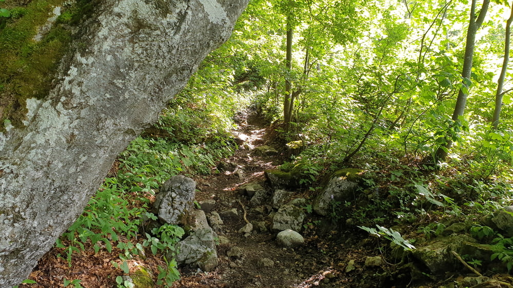
- Dürnbachtal
- Bodenschneidweg
- Untere Freudenreichalm
- Freudenreichsattel
- Obere Firstalm
- Spitzingsattel
- Stockeralm
- Stockeralmweg
- Neuhaus Wanderparkplatz Dürnbachstraße
- Dürnbachtal
- Bodenschneidweg
- Untere Freudenreichalm
- Freudenreichsattel
- Obere Firstalm
- Spitzingsattel
- Stockeralm
- Stockeralmweg
- Neuhaus Wanderparkplatz Dürnbachstraße
Galeria trasy


Mapa trasy i profil wysokości
Minimum height 841 m
Maximum height 1366 m
More about the tour author

|
Komentarze

Von München über die A8 bis zur Ausfahrt Weyarn. Von dort der ST2073 bis nach Miesbach und weiter der B307 über Hausham und Schliersee nach Neuhaus folgen. In Neuhaus in die Dürnbachstraße abzweigen und am Ende auf dem kleinen Parkplatz parken.
GPS tracks
Trackpoints-
GPX / Garmin Map Source (gpx) download
-
TCX / Garmin Training Center® (tcx) download
-
CRS / Garmin Training Center® (crs) download
-
Google Earth (kml) download
-
G7ToWin (g7t) download
-
TTQV (trk) download
-
Overlay (ovl) download
-
Fugawi (txt) download
-
Kompass (DAV) Track (tk) download
-
Karta trasy (pdf) download
-
Original file of the author (tcx) download
More about the tour author
|
|
Add to my favorites
Remove from my favorites
Edit tags
Open track
My score
Rate