Login

Zapomniałeś swój login?

Cookies have to be accepted!
Your browser's cookie functionality is disabled. Please enable this functionality.

Not a member yet?

Register now
Login

Available for registred users only

Log in to use this feature.

Zapomniałeś swój login?

Cookies have to be accepted!
Your browser's cookie functionality is disabled. Please enable this functionality.

Not a member yet?

Register now
Filter
Kategorie
Advanced filters
  • Długość (km)
  • Wysokość
Zapisz filtr Reset filter

TrackRank

QRCode

Technical data

Długość50,5 km Wysokość504 m Way down505 m Czas trwania02:40 h:m Data09.07.2021
Oceny Author Krajobraz Czynnik zadowolenia Kondycja Technika

Statystyka

168 Widoki Oceny 19 Downloads / Pliki do pobrania Przeciętnie
Rate
  • Karta trasy
  • Dojazd
  • Downloads / Pliki do pobrania
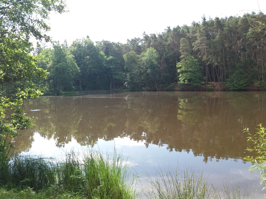
Von Herrieden nach Bechhofen an der Heide zum Krummweiher hier besteht die Möglichkeit zum Baden oder zur Einkehr am Kiosk. Weiter ins Friedrichsthal zum Dennenloher See. Hier kann man links am See entlangfahren dieser Weg ist aber oft sehr naß. Ich bin rechts herum über die Teerstraße um den See gefahren. Zurück geht es über Voggendorf durch die Bechhofener Heide nach Herrieden.

Galeria trasy

Mapa trasy i profil wysokości

  • Open Street Map
  • Google
Minimum height 420 m Maximum height 502 m Widok szczegółowy

More about the tour author

JoBike1968
Member since 2021

Send private message

Komentarze

GPS tracks

Trackpoints
  • GPX / Garmin Map Source (gpx) download
  • TCX / Garmin Training Center® (tcx) download
  • CRS / Garmin Training Center® (crs) download
  • Google Earth (kml) download
  • G7ToWin (g7t) download
  • TTQV (trk) download
  • Overlay (ovl) download
  • Fugawi (txt) download
  • Kompass (DAV) Track (tk) download
  • Karta trasy (pdf) download
  • Original file of the author (gpx) download

More about the tour author

JoBike1968
Member since 2021

Send private message
Share track
Add to my favorites
Remove from my favorites
Edit tags
My score
Rate
Trasa: Von Herrieden um den Dennenloher See
Rodzaj: Rower górski (MTB)
Długość: 50,5 km
Evaluated on:
Czas trwania:
Day(s)
Hour(s)
Minute(s)
Ocena: Krajobraz Czynnik zadowolenia Kondycja Technika