


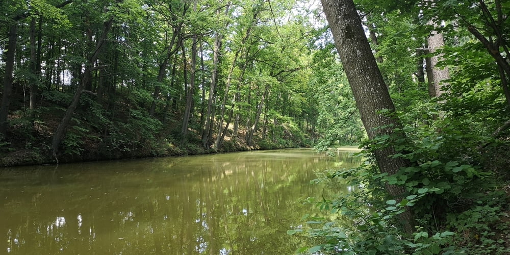
Es ist eine kleine Wanderung um ein historisches Großprojekt von Karl des Großen aus dem Jahr 793. Aber auch als Biotop betrachtet ist es nicht zu verachten.
Es gibt einige Info Tafeln die über Bedeutung, Zweck und geschichtlichen Hintergrund informieren.
https://www.lfu.bayern.de/geologie/bayerns_schoenste_geotope/34/index.htm
https://de.wikipedia.org/wiki/Fossa_Carolina
Galeria trasy


Mapa trasy i profil wysokości
Minimum height 405 m
Maximum height 437 m
More about the tour author
|
|
JoachimDief |
Komentarze

Nach Graben bei Treuchtlingen fahren. Der Name der kleinen Ortschaft ist schon ein erster Hinweiß auf den "Graben"
GPS tracks
Trackpoints-
GPX / Garmin Map Source (gpx) download
-
TCX / Garmin Training Center® (tcx) download
-
CRS / Garmin Training Center® (crs) download
-
Google Earth (kml) download
-
G7ToWin (g7t) download
-
TTQV (trk) download
-
Overlay (ovl) download
-
Fugawi (txt) download
-
Kompass (DAV) Track (tk) download
-
Karta trasy (pdf) download
-
Original file of the author (gpx) download
More about the tour author
|
|
JoachimDief |
Add to my favorites
Remove from my favorites
Edit tags
Open track
My score
Rate