Login

Zapomniałeś swój login?

Cookies have to be accepted!
Your browser's cookie functionality is disabled. Please enable this functionality.

Not a member yet?

Register now
Login

Available for registred users only

Log in to use this feature.

Zapomniałeś swój login?

Cookies have to be accepted!
Your browser's cookie functionality is disabled. Please enable this functionality.

Not a member yet?

Register now
Filter
Kategorie
Advanced filters
  • Długość (km)
  • Wysokość
Zapisz filtr Reset filter

TrackRank

QRCode

Technical data

Długość14,0 km Wysokość0 m Way down0 m Czas trwania04:30 h:m Data28.06.2021
Oceny Author Krajobraz Czynnik zadowolenia Kondycja Technika

Statystyka

178 Widoki Oceny 5 Downloads / Pliki do pobrania Przeciętnie
Rate
  • Karta trasy
  • Dojazd
  • Downloads / Pliki do pobrania
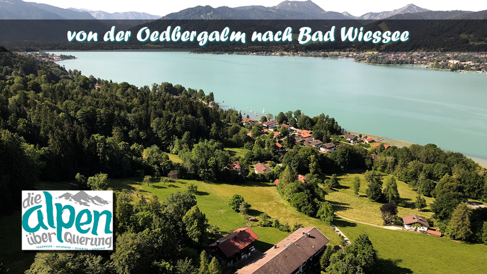
Der erste Tag ist zum warm Laufen. Von der Oedbergalm gehen wir mit Hilfe des Ü´s auf den Tegernseerer Höhenweg dem wir bist Tegernsee folgen. Am Wasser entlang laufen wir bis zur schmalsten Stelle vom See und lassen uns von einem Ruderboot auf die andere Seite bringen. Über die Weißach gehen wir der B 318 entlang bis wir durch den Ort Ringsee wieder an den Tegernsee gelangen. Diesen verlassen wir in Bad Wiessee und erreichen unser Hotel Alpensonne.

Galeria trasy

Mapa trasy i profil wysokości

  • Open Street Map
  • Google
Minimum height 99999 m Maximum height -99999 m Widok szczegółowy

More about the tour author

schleidy
Member since 2013

Send private message

Komentarze

GPS tracks

Trackpoints
  • GPX / Garmin Map Source (gpx) download
  • TCX / Garmin Training Center® (tcx) download
  • CRS / Garmin Training Center® (crs) download
  • Google Earth (kml) download
  • G7ToWin (g7t) download
  • TTQV (trk) download
  • Overlay (ovl) download
  • Fugawi (txt) download
  • Kompass (DAV) Track (tk) download
  • Karta trasy (pdf) download
  • Original file of the author (gpx) download

More about the tour author

schleidy
Member since 2013

Send private message
Share track
Add to my favorites
Remove from my favorites
Edit tags
My score
Rate
Trasa: die Alpenüberquerung: Oedbergalm - Bad Wiessee
Rodzaj: Wędrówki
Długość: 14,0 km
Evaluated on:
Czas trwania:
Day(s)
Hour(s)
Minute(s)
Ocena: Krajobraz Czynnik zadowolenia Kondycja Technika