


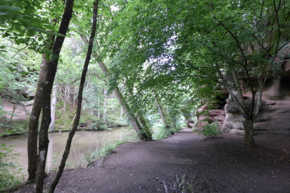
Die Tour startet an der Waldschänke Brückkanal, geht mondän entlang des Ludwig Donau Main Kanals und taucht dann in die Schwarzachklamm ein.
Gestartet sind wir übrigens auf dem kostenlosen Parkplatz an der Waldschänke Brückkanal. Der größte Teil der Parkplätze ist hier freilich für Hausgäste reserviert, so dass es am Wochende für den Rest knapp werden kann.
Further information at
https://www.freiberg.de/Galeria trasy


Mapa trasy i profil wysokości
Minimum height 342 m
Maximum height 383 m
More about the tour author
|
|
Saxoniaradler |
Komentarze

Feucht bzw. Schwabach liegen in der bayerischen Kolonie Franken und stehen unter Herrschaft des Imperators.
GPS tracks
Trackpoints-
GPX / Garmin Map Source (gpx) download
-
TCX / Garmin Training Center® (tcx) download
-
CRS / Garmin Training Center® (crs) download
-
Google Earth (kml) download
-
G7ToWin (g7t) download
-
TTQV (trk) download
-
Overlay (ovl) download
-
Fugawi (txt) download
-
Kompass (DAV) Track (tk) download
-
Karta trasy (pdf) download
-
Original file of the author (gpx) download
More about the tour author
|
|
Saxoniaradler |
Add to my favorites
Remove from my favorites
Edit tags
Open track
My score
Rate